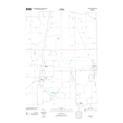
2013 Map of Milford
USGS Topo · Published 2013About this map
Milford and Syracuse anchor this detailed landscape in northern Indiana, where a complex network of drainage ditches and natural lakes defines the local geography. The area around Milford Junction reflects a transition from traditional agricultural lands, such as Matthews Farms and Snider Farms, to more modern transport hubs like the HR Weisser Airport. Water management is a central theme of this terrain, with engineered waterways like Hoopingarner Ditch, Preston Miles Ditch, and Whetten Ditch crisscrossing the fields to feed into the Elkhart River and Solomon Cr.
Find a feature on this map
125 named features on this map. Tap any name to fly to it.
Don’t see what you’re looking for? This feature index may not catch every label — zoom into the map to look around manually.
Map Details
Editions of this 2013 Milford Map
This is the sole edition of this map. No revisions or reprints were ever made.
Other maps of this area

1950 · Leesburg
USGS Topo · 1:24,000

1950 · North Webster
USGS Topo · 1:24,000

1951 · Milford
USGS Topo · 1:24,000

1951 · Wawasee
USGS Topo · 1:24,000

1953 · Fort Wayne
USGS Topo · 1:250,000

1956 · Fort Wayne
USGS Topo · 1:250,000

1958 · Nappanee East
USGS Topo · 1:24,000

1959 · Atwood
USGS Topo · 1:24,000

1959 · Millersburg
USGS Topo · 1:24,000

1959 · Goshen
USGS Topo · 1:24,000