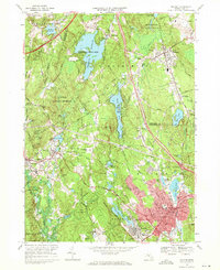
1968 Map of Milford
USGS Topo · Published 1971About this map
The industrial and residential growth of south-central Massachusetts is evident in this late-1960s landscape, where the town centers of Milford and Hopedale show significant density. The region is defined by a series of reservoirs and controlled water bodies, including the expansive Whitehall Reservoir and Echo Lake, which speak to the area’s historic reliance on water for both municipal supply and early manufacturing. The map documents the overlap of Worcester Co and Middlesex Co, highlighting a complex network of schools like St Marys High Sch and civic landmarks like the County Home.
Find a feature on this map
77 named features on this map. Tap any name to fly to it.
Don’t see what you’re looking for? This feature index may not catch every label — zoom into the map to look around manually.
Map Details
Editions of this 1968 Milford Map
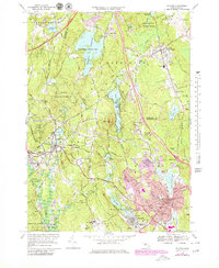
2 editions found
Other maps of this area

1886 · Blackstone
USGS Topo · 1:62,500

1886 · Framingham
USGS Topo · 1:62,500

1887 · Franklin
USGS Topo · 1:62,500

1887 · Marlboro
USGS Topo · 1:62,500

1889 · Marlboro
USGS Topo · 1:62,500

1889 · Blackstone
USGS Topo · 1:62,500

1889 · Franklin
USGS Topo · 1:62,500

1889 · Framingham
USGS Topo · 1:62,500

1893 · Franklin
USGS Topo · 1:62,500

1893 · Blackstone
USGS Topo · 1:62,500