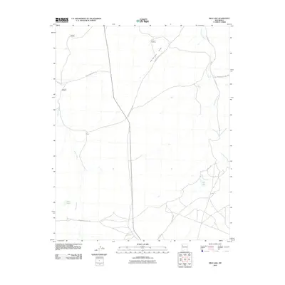
2010 Map of Milk Lake
USGS Topo · Published 2010About this map
Kim-me-ni-oli Valley and the expansive drainage of Kim-me-ni-oli Wash characterize this high-desert landscape in the Eastern Navajo Agency. At the start of the 21st century, the area remains sparsely settled, defined largely by the infrastructure of ranching and land management. The I K Ranch stands as a central landmark, while vital water sources such as Milk Lake, Flat Lake, and several distinct windmills—including Windmill Number 2, Windmill Number 3, and Windmill Number 4—indicate the ongoing importance of livestock grazing in this arid region.
Find a feature on this map
14 named features on this map. Tap any name to fly to it.
Don’t see what you’re looking for? This feature index may not catch every label — zoom into the map to look around manually.
Map Details
Editions of this 2010 Milk Lake Map
This is the sole edition of this map. No revisions or reprints were ever made.
Other maps of this area

1886 · Wingate
USGS Topo · 1:250,000

1889 · Chaco
USGS Topo · 1:250,000

1892 · Wingate
USGS Topo · 1:250,000

1892 · Chaco
USGS Topo · 1:250,000

1954 · Shiprock
USGS Topo · 1:250,000

1954 · Gallup
USGS Topo · 1:250,000

1958 · Gallup
USGS Topo · 1:250,000

1958 · Shiprock
USGS Topo · 1:250,000

1959 · Shiprock
USGS Topo · 1:250,000

1959 · Gallup
USGS Topo · 1:250,000