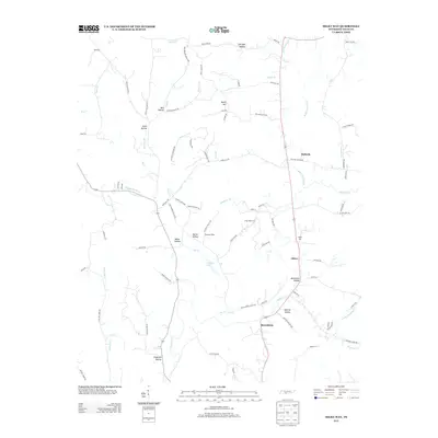
2013 Map of Milky Way
USGS Topo · Published 2013About this map
Milky Way Farm sits at the heart of this landscape, surrounded by the intricate drainage systems of Richland Cr and Big Cr. The area is defined by a series of named hollows that follow the local topography, including African Hollow, Ballentine Hollow, and Miller Hollow, suggesting a long history of family settlement and land use across the valleys. Small community centers such as Olivet, Bufords, and Riversburg dot the primary north-south corridors, providing glimpses into the rural structure of Giles County.
Find a feature on this map
88 named features on this map. Tap any name to fly to it.
Don’t see what you’re looking for? This feature index may not catch every label — zoom into the map to look around manually.
Map Details
Editions of this 2013 Milky Way Map
This is the sole edition of this map. No revisions or reprints were ever made.
Other maps of this area

1936 · Sandy Hook
USGS Topo · 1:24,000

1936 · Milky Way
USGS Topo · 1:24,000

1936 · Campbellsville
USGS Topo · 1:24,000

1936 · Brick Church
USGS Topo · 1:24,000

1936 · Campbells Station
USGS Topo · 1:24,000

1936 · Pulaski
USGS Topo · 1:24,000

1936 · Bodenham
USGS Topo · 1:24,000

1936 · Tarpley
USGS Topo · 1:24,000

1936 · Lynnville
USGS Topo · 1:24,000

1946 · Brick Church
USGS Topo · 1:24,000