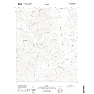
2019 Map of Milky Way
USGS Topo · Published 2019About this map
Richland Creek and Robertson Fork Creek wind through this central Giles County landscape, where small hamlets like Riversburg, Olivet, and Bufords define the local geography. The map reveals a dense network of family-named landmarks and resting places, from the Tinnon Burial Ground near African Hollow to the Mars Mausoleum situated north of Whitaker Br. These sites, along with others like the Mount Olivet Cem and Shadden Cem, serve as critical points of reference for genealogists tracking generations of families such as the Abernathys, Wilkersons, and Briggses. Transport remains tied to the land and legacy, evidenced by the CSX Transportation rail line following the contours of the valley near Lynnville and the numerous hollows—such as Ballentine Hollow and Miller Hollow—that still dictate the path of rural roads like Old Campbellsville Rd.
Find a feature on this map
116 named features on this map. Tap any name to fly to it.
Don’t see what you’re looking for? This feature index may not catch every label — zoom into the map to look around manually.
Map Details
Editions of this 2019 Milky Way Map
This is the sole edition of this map. No revisions or reprints were ever made.
Other maps of this area

1936 · Sandy Hook
USGS Topo · 1:24,000

1936 · Milky Way
USGS Topo · 1:24,000

1936 · Campbellsville
USGS Topo · 1:24,000

1936 · Brick Church
USGS Topo · 1:24,000

1936 · Campbells Station
USGS Topo · 1:24,000

1936 · Pulaski
USGS Topo · 1:24,000

1936 · Bodenham
USGS Topo · 1:24,000

1936 · Tarpley
USGS Topo · 1:24,000

1936 · Lynnville
USGS Topo · 1:24,000

1946 · Brick Church
USGS Topo · 1:24,000