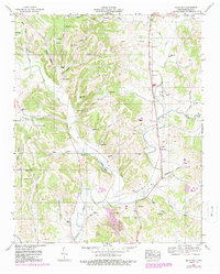
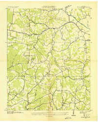
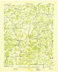
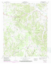
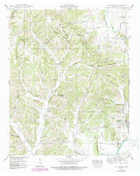
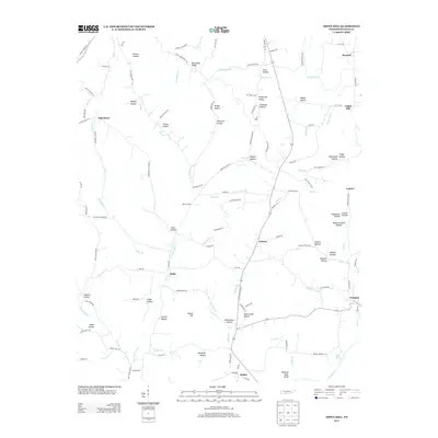
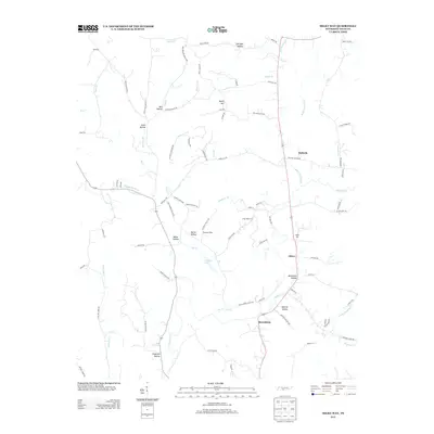
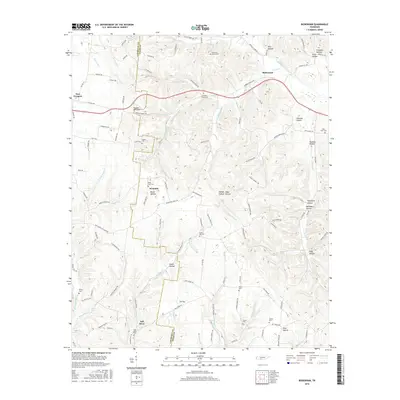
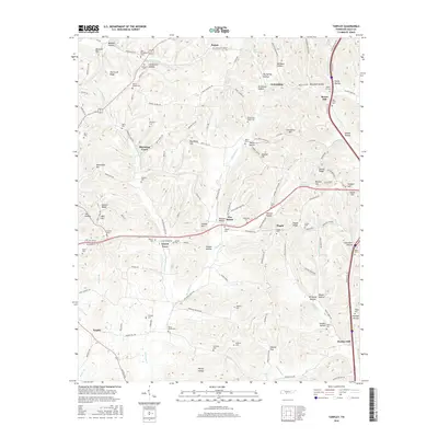
1951 Map of Milky Way
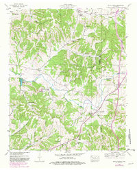
USGS Topo · Published 1989About this map
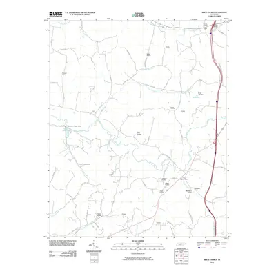
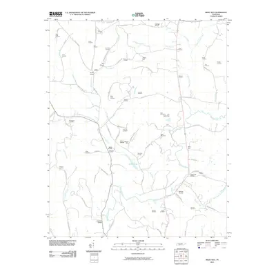
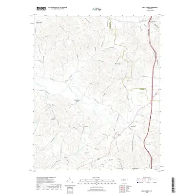
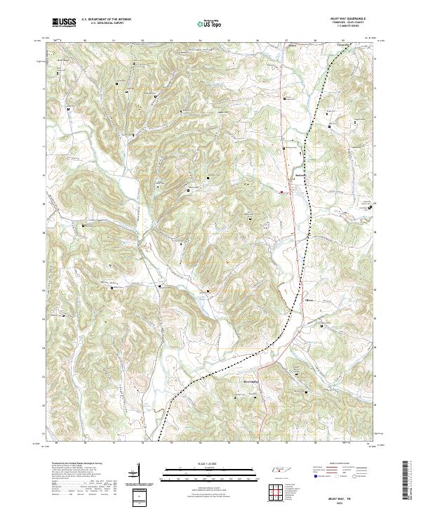
Richland Creek meanders through this portion of Giles County, defining a landscape of hollows and ridges that supported an extensive network of small farming communities and family homesteads. The terrain is notably marked by family names, with numerous burial grounds such as Joines Cem, Abernathy Cem, and Buford Cem scattered across the uplands. Near the settlement of Milky Way, the Bee Line Highway and a prominent Race Track indicate the area's development and its role in regional transit.
Find a feature on this map
67 named features on this map. Tap any name to fly to it.
Don’t see what you’re looking for? This feature index may not catch every label — zoom into the map to look around manually.
Map Details
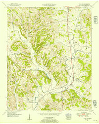
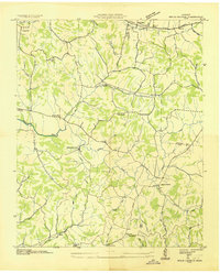
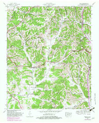
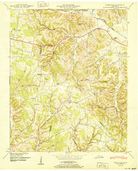
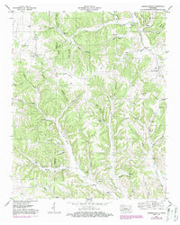
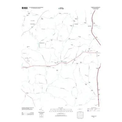
Editions of this 1951 Milky Way Map
2 editions found
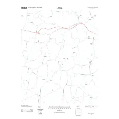
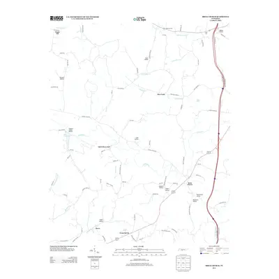
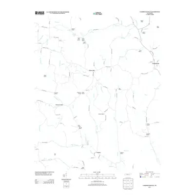
Historical Maps of Lynnville Through Time
54 maps found
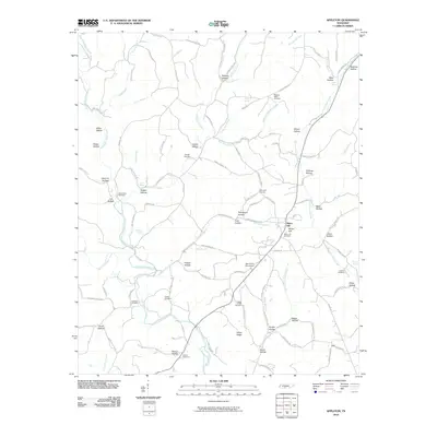
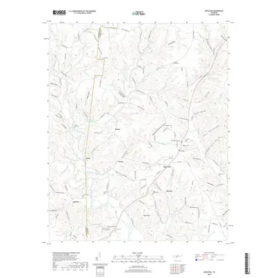
1936 Appleton
Giles County, TN
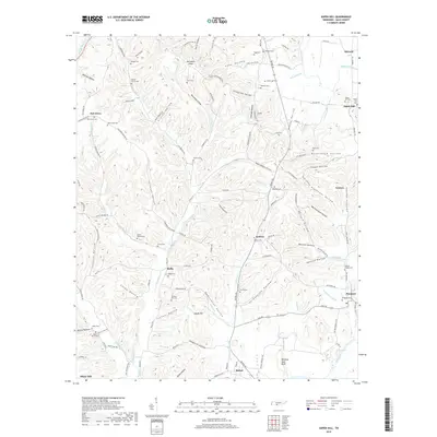
1936 Aspen Hill
Giles County, TN
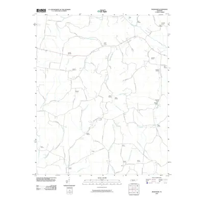
1936 Bodenham
Giles County, TN
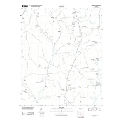
1936 Brick Church
Giles County, TN
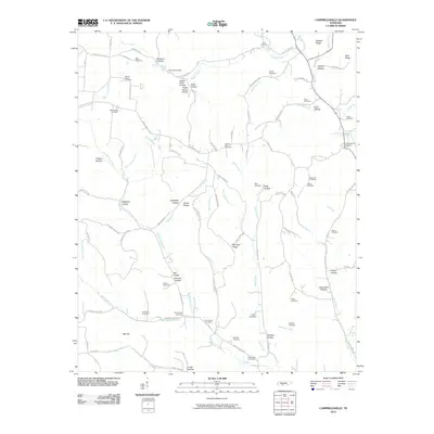
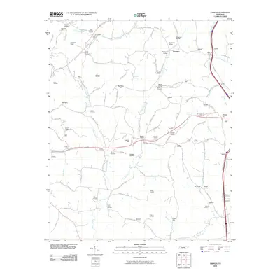
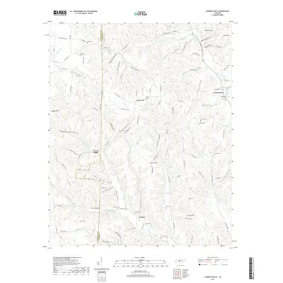
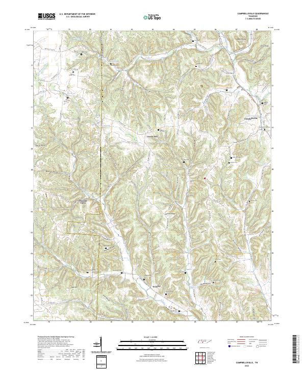
1936 Campbellsville
Giles County, TN
1936 Milky Way
Giles County, TN
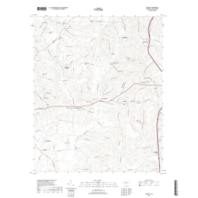
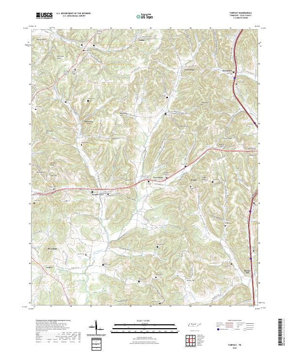
1936 Tarpley
Giles County, TN
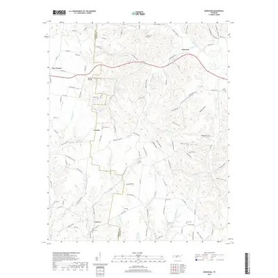
1946 Brick Church
Giles County, TN
1948 Appleton
Giles County, TN
1948 Aspen Hill
Giles County, TN
1948 Bodenham
Giles County, TN
1948 Tarpley
Giles County, TN
1949 Brick Church
Giles County, TN
1950 Appleton
Giles County, TN
1950 Aspen Hill
Giles County, TN
1950 Bodenham
Giles County, TN
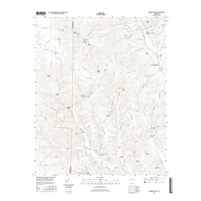
1951 Campbellsville
Giles County, TN
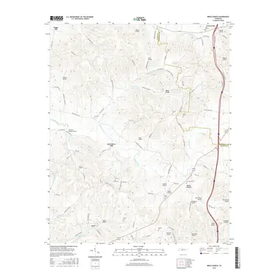
1951 Milky Way
Giles County, TN
1951 Tarpley
Giles County, TN
2010 Appleton
Giles County, TN
2010 Aspen Hill
Giles County, TN
2010 Bodenham
Giles County, TN
2010 Brick Church
Giles County, TN
2010 Campbellsville
Giles County, TN
2010 Milky Way
Giles County, TN
2010 Tarpley
Giles County, TN
2013 Appleton
Giles County, TN
2013 Aspen Hill
Giles County, TN
2013 Bodenham
Giles County, TN
2013 Brick Church
Giles County, TN
2013 Campbellsville
Giles County, TN
2013 Milky Way
Giles County, TN
2013 Tarpley
Giles County, TN
2016 Appleton
Giles County, TN
2016 Aspen Hill
Giles County, TN
2016 Bodenham
Giles County, TN
2016 Brick Church
Giles County, TN
2016 Campbellsville
Giles County, TN
2016 Milky Way
Giles County, TN
2016 Tarpley
Giles County, TN
2019 Appleton
Giles County, TN
2019 Aspen Hill
Giles County, TN
2019 Bodenham
Giles County, TN
2019 Brick Church
Giles County, TN
2019 Campbellsville
Giles County, TN
2019 Milky Way
Giles County, TN
2019 Tarpley
Giles County, TN
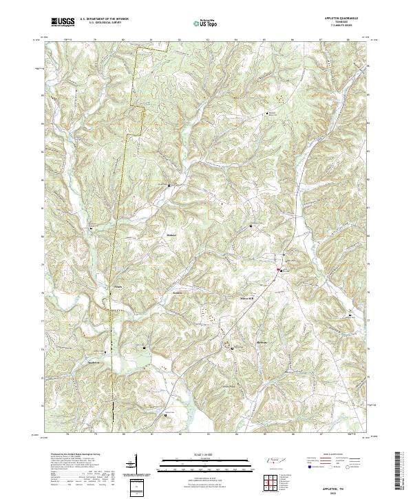
2022 Appleton
Giles County, TN
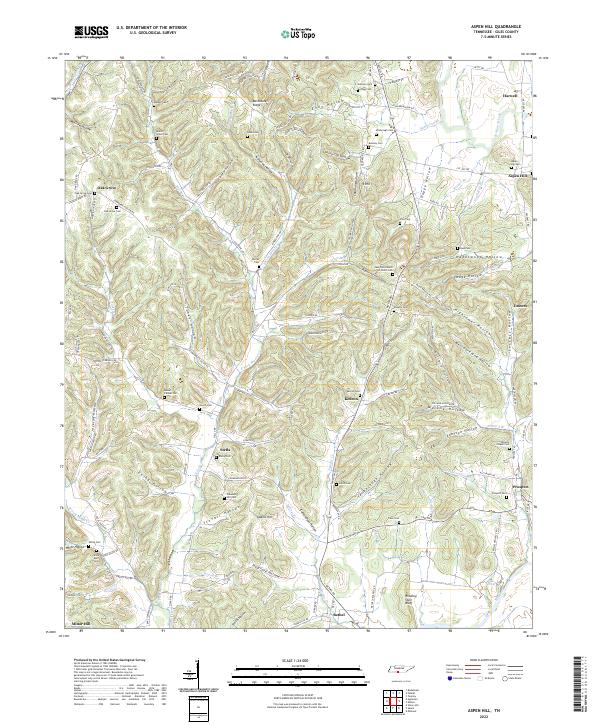
2022 Aspen Hill
Giles County, TN
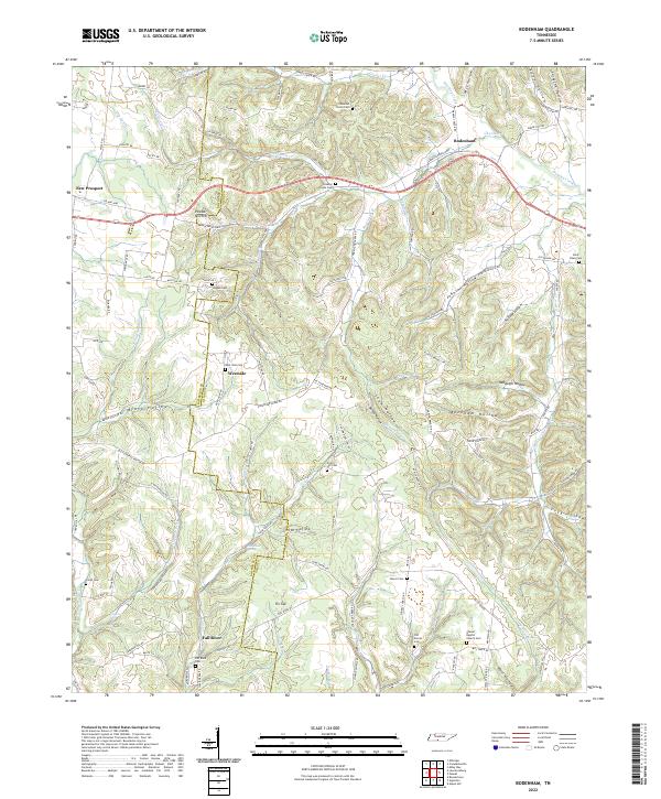
2022 Bodenham
Giles County, TN
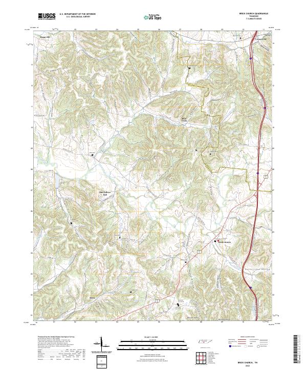
2022 Brick Church
Giles County, TN
2022 Campbellsville
Giles County, TN
2022 Milky Way
Giles County, TN
2022 Tarpley
Giles County, TN