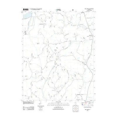
2012 Map of Mill Creek
USGS Topo · Published 2012About this map
Elco and the village of Mill Creek anchor this Southern Illinois landscape as it appeared in the early 2010s. The terrain transitions from the low-lying Hogskin Bottoms and Bluff Lake in the west to a more complex network of ridges and hollows in the east, characterized by evocative local names like You-Be Hollow and Dry Hollow. This region is a significant area for genealogical research, containing numerous family and community burial grounds such as Honey Cem, Sims Cem, and McClure Cem. The infrastructure follows the natural topography, with Elco Rd and Tamms-Elco Rd connecting the scattered hamlets. Landmarks like the Bass Hill Lookout Tower and Italian Hill rise above the drainage systems of Sexton Cr and Sandy Cr, illustrating the rugged character of the Shawnee Hills transition. The map also captures small settlements like Springville and Valley Mission, providing a precise look at the rural road network including McDaniel School Rd.
Find a feature on this map
71 named features on this map. Tap any name to fly to it.
Don’t see what you’re looking for? This feature index may not catch every label — zoom into the map to look around manually.
Map Details
Editions of this 2012 Mill Creek Map
This is the sole edition of this map. No revisions or reprints were ever made.
Other maps of this area

1920 · Jonesboro
USGS Topo · 1:62,500

1920 · Dongola
USGS Topo · 1:62,500

1923 · Dongola
USGS Topo · 1:62,500

1923 · Jonesboro
USGS Topo · 1:62,500

1931 · Cairo
USGS Topo · 1:62,500

1933 · Cairo
USGS Topo · 1:62,500

1934 · Thebes
USGS Topo · 1:62,500

1939 · Cairo
USGS Topo · 1:62,500

1939 · Thebes
USGS Topo · 1:62,500

1947 · Jonesboro
USGS Topo · 1:62,500