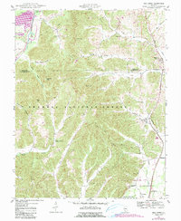
1947 Map of Mill Creek
USGS Topo · Published 1990About this map
Shawnee National Forest encompasses much of this landscape, where the ridges and hollows of the Illinois Ozarks transition into the alluvial plains of Hogskin Bottoms. The terrain is marked by family-named landmarks and small rural settlements like Mill Creek and Elco, which sit along the eastern corridor. Genealogists will find a wealth of burial grounds throughout the hills, including McClure Cem, McCowen Cem, and Palmer Cem. The presence of the Pleasant Valley Ch and the Lingle Sch indicates the locations of community centers that once served these dispersed upland farmsteads. To the south, an old railroad grade traces a path near Tatumville, hinting at the changing transportation networks that once linked these timber and agricultural lands to larger markets along Sexton Creek and Sandy Creek.
Find a feature on this map
46 named features on this map. Tap any name to fly to it.
Don’t see what you’re looking for? This feature index may not catch every label — zoom into the map to look around manually.
Map Details
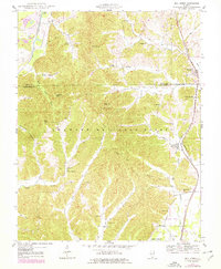
Editions of this 1947 Mill Creek Map
2 editions found
Other maps of this area

1920 · Jonesboro
USGS Topo · 1:62,500

1920 · Dongola
USGS Topo · 1:62,500

1923 · Dongola
USGS Topo · 1:62,500

1923 · Jonesboro
USGS Topo · 1:62,500

1931 · Cairo
USGS Topo · 1:62,500

1933 · Cairo
USGS Topo · 1:62,500

1934 · Thebes
USGS Topo · 1:62,500

1939 · Cairo
USGS Topo · 1:62,500

1939 · Thebes
USGS Topo · 1:62,500

1947 · Jonesboro
USGS Topo · 1:62,500