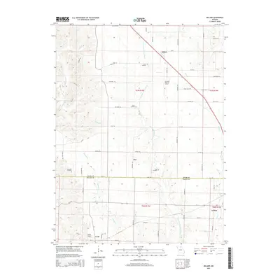
2015 Map of Millard
USGS Topo · Published 2015About this map
The E Fork Little Chariton River flows southward through this landscape on the border of Adair and Macon Counties, anchoring a region of scattered rural settlements and farm-to-market trails. In the northern reaches, the community of Millard is situated near the Kirksville Regional Airport, while the southern portion of the sheet features La Plata and the smaller locality of Cardy. This area is rich in sites for genealogical research, with several family and local burial grounds including Stukey Cemetery, Shaver Cemetery, Shoemaker Cemetery, and Bragg Cemetery distributed across the townships. The terrain is defined by a network of drainage systems like Richland Cr and Turkey Run, which carve through the land between established routes such as Igloo Trl and Flint Trl. Smaller named points like Dart and Happy Hollow reflect the localized settlement patterns of northern Missouri in the early 21st century.
Find a feature on this map
56 named features on this map. Tap any name to fly to it.
Don’t see what you’re looking for? This feature index may not catch every label — zoom into the map to look around manually.
Map Details
Editions of this 2015 Millard Map
This is the sole edition of this map. No revisions or reprints were ever made.
Other maps of this area

1903 · Edina
USGS Topo · 1:125,000

1908 · Atlanta
USGS Topo · 1:62,500

1937 · Elmer
USGS Topo · 1:48,000

1938 · Kirksville
USGS Topo · 1:62,500

1940 · Kirksville
USGS Topo · 1:62,500

1942 · Elmer
USGS Topo · 1:62,500

1953 · Moberly
USGS Topo · 1:250,000

1954 · Centerville
USGS Topo · 1:250,000

1954 · Moberly
USGS Topo · 1:250,000

1957 · Moberly
USGS Topo · 1:250,000