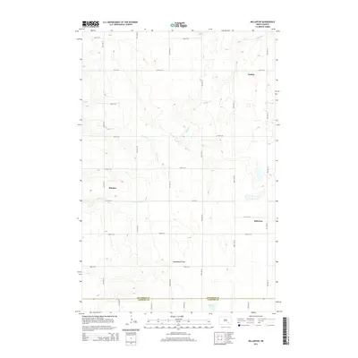
2014 Map of Millarton
USGS Topo · Published 2014About this map
Millarton and Sydney anchor this rural landscape in the southeastern corner of Stutsman County during the mid-2010s. The region is defined by a rigorous section-line road grid, where routes like 46th St SE and 81st Ave SE segment the prairie into a pattern of agriculture and drainage. The terrain is notably marked by the Minneapolis Flats, a broad, low-lying area that influences the local hydrology. Water moves across this agricultural heartland through a series of prairie streams and seasonal wetlands, including the meandering Buffalo Cr and Cottontail Cr. Near the southern boundary with LaMoure County, the terrain shifts into the Wild Rice Slough, illustrating the delicate water management required for farming in this part of the James River Valley watershed. Small settlement points like Sharlow provide additional touchstones for local history and genealogy.
Find a feature on this map
24 named features on this map. Tap any name to fly to it.
Don’t see what you’re looking for? This feature index may not catch every label — zoom into the map to look around manually.
Map Details
Editions of this 2014 Millarton Map
This is the sole edition of this map. No revisions or reprints were ever made.
Other maps of this area

1896 · Jamestown
USGS Topo · 1:125,000

1951 · Eldridge SE
USGS Topo · 1:24,000

1952 · Homer
USGS Topo · 1:24,000

1952 · Jud NW
USGS Topo · 1:24,000

1952 · Eldridge SW
USGS Topo · 1:24,000

1953 · Jamestown
USGS Topo · 1:250,000

1953 · Montpelier NW
USGS Topo · 1:24,000

1953 · Jud
USGS Topo · 1:24,000

1953 · Millarton
USGS Topo · 1:24,000

1953 · Nortonville
USGS Topo · 1:24,000