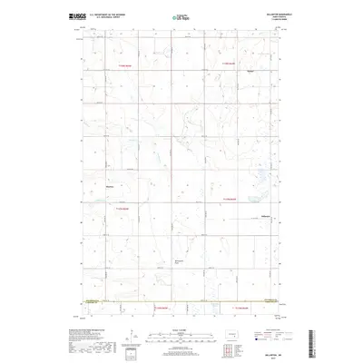
2017 Map of Millarton
USGS Topo · Published 2017About this map
Minneapolis Flats occupies a central position in this survey of southeastern Stutsman County, where the landscape is defined by the headwaters of several drainage systems. Small settlements like Millarton and Sydney dot the grid of section-line roads, such as 54th St SE, which marks the boundary with LaMoure County. The hydrological pattern is distinctive for this region of North Dakota, with Buffalo Cr and Cottontail Cr winding through the prairie towards Wild Rice Slough in the south. The map reflects a rural economy structured around these small residential clusters and the surrounding agricultural land, with the hamlet of Sharlow positioned along the western edge. This data provides a clear record of the area's physical geography and administrative divisions.
Find a feature on this map
24 named features on this map. Tap any name to fly to it.
Don’t see what you’re looking for? This feature index may not catch every label — zoom into the map to look around manually.
Map Details
Editions of this 2017 Millarton Map
This is the sole edition of this map. No revisions or reprints were ever made.
Other maps of this area

1896 · Jamestown
USGS Topo · 1:125,000

1951 · Eldridge SE
USGS Topo · 1:24,000

1952 · Homer
USGS Topo · 1:24,000

1952 · Jud NW
USGS Topo · 1:24,000

1952 · Eldridge SW
USGS Topo · 1:24,000

1953 · Jamestown
USGS Topo · 1:250,000

1953 · Montpelier NW
USGS Topo · 1:24,000

1953 · Jud
USGS Topo · 1:24,000

1953 · Millarton
USGS Topo · 1:24,000

1953 · Nortonville
USGS Topo · 1:24,000