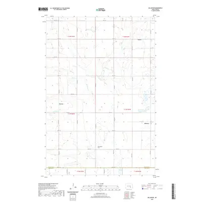
2020 Map of Millarton
USGS Topo · Published 2020About this map
Millarton and Sydney anchor this prairie landscape along the southeastern edge of Stutsman County, where the topography transitions into the expansive Minneapolis Flats. The map reveals a highly structured section-line road network, with numbered routes like 54th St SE tracing the border with LaMoure County to the south. Water is a defining element of this rural terrain, dominated by the winding course of Buffalo Creek and its tributary, Cottontail Creek. Small wetlands and prairie potholes are scattered throughout, culminating in the Wild Rice Slough near the southern boundary. This 2020 survey documents the enduring agricultural footprint of the region, where the historical settlement at Sharlow and the surrounding townships maintain a pattern of life defined by the vast drainage basins of the North Dakota plains.
Find a feature on this map
23 named features on this map. Tap any name to fly to it.
Don’t see what you’re looking for? This feature index may not catch every label — zoom into the map to look around manually.
Map Details
Editions of this 2020 Millarton Map
This is the sole edition of this map. No revisions or reprints were ever made.
Other maps of this area

1896 · Jamestown
USGS Topo · 1:125,000

1951 · Eldridge SE
USGS Topo · 1:24,000

1952 · Homer
USGS Topo · 1:24,000

1952 · Jud NW
USGS Topo · 1:24,000

1952 · Eldridge SW
USGS Topo · 1:24,000

1953 · Jamestown
USGS Topo · 1:250,000

1953 · Montpelier NW
USGS Topo · 1:24,000

1953 · Jud
USGS Topo · 1:24,000

1953 · Millarton
USGS Topo · 1:24,000

1953 · Nortonville
USGS Topo · 1:24,000