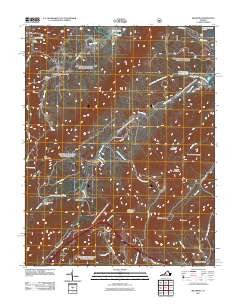
2011 Map of Millboro
USGS Topo · Published 2011About this map
Millboro and its surrounding mountain gaps are defined by a complex network of waterways and rail engineering in this 2011 survey. The landscape is carved by Brattons Run and Mill Creek, with the Millboro Post Office serving as a central hub for the small settlements of Sugar Hollow, California, and Millboro Springs. The rugged geography necessitated the construction of the Millboro Tunnel and Lick Run Tunnel, indicating the historical importance of rail transit through these ridges.
Find a feature on this map
49 named features on this map. Tap any name to fly to it.
Don’t see what you’re looking for? This feature index may not catch every label — zoom into the map to look around manually.
Map Details
Editions of this 2011 Millboro Map
This is the sole edition of this map. No revisions or reprints were ever made.
Other maps of this area

1894 · Staunton
USGS Topo · 1:125,000

1894 · Natural Bridge
USGS Topo · 1:125,000

1894 · Lexington
USGS Topo · 1:125,000

1901 · Monterey
USGS Topo · 1:125,000

1932 · Lexington
USGS Topo · 1:48,000

1937 · Lexington
USGS Topo · 1:62,500

1943 · Craigsville
USGS Topo · 1:62,500

1945 · Craigsville
USGS Topo · 1:62,500

1946 · Millboro
USGS Topo · 1:62,500

1946 · Williamsville
USGS Topo · 1:62,500