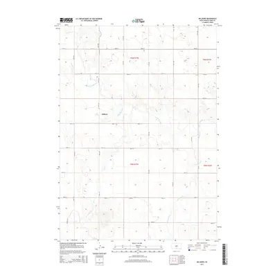
2015 Map of Millboro
USGS Topo · Published 2015About this map
Millboro serves as the central settlement point in this section of South Dakota, situated near the winding course of the Keya Paha River. The geography is defined by a series of drainages, including Lost Cr, Willow Cr, and Cottonwood Cr, which carve through the plains of t96n r77w and t95n r77w. A strictly organized grid of rural roads, such as 310th Ave and 300th St, facilitates movement across the township sections. This landscape reflects the enduring ranching and agricultural patterns of Tripp County, where the topography dictates the placement of crossroads and homesteads. The intersection of Browns Rd and 303rd St in the southwest corner highlights the remote connectivity characteristic of the region, while the meandering river provides the primary natural break in the surveyed terrain.
Find a feature on this map
25 named features on this map. Tap any name to fly to it.
Don’t see what you’re looking for? This feature index may not catch every label — zoom into the map to look around manually.
Map Details
Editions of this 2015 Millboro Map
This is the sole edition of this map. No revisions or reprints were ever made.
Other maps of this area

1950 · Norden
USGS Topo · 1:62,500

1952 · Norden
USGS Topo · 1:62,500

1955 · Martin
USGS Topo · 1:250,000

1955 · Mitchell
USGS Topo · 1:250,000

1955 · O'Neill
USGS Topo · 1:250,000

1957 · Valentine
USGS Topo · 1:250,000

1958 · Martin
USGS Topo · 1:250,000

1959 · Valentine
USGS Topo · 1:250,000

1959 · O'Neill
USGS Topo · 1:250,000

1959 · Mitchell
USGS Topo · 1:250,000