Loading...
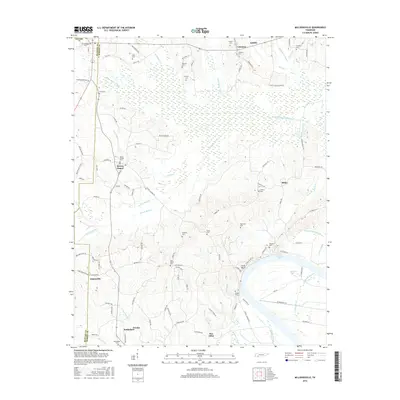
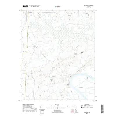
Loading map...1949 Map of Milledgeville
USGS Topo · Published 1973About this map
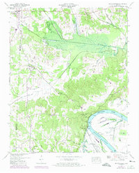
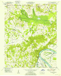
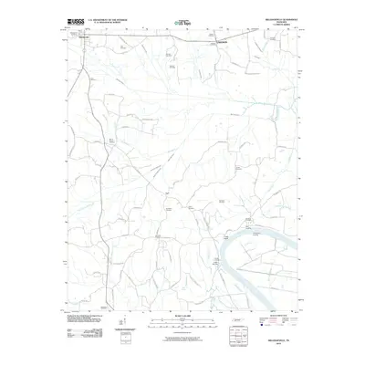
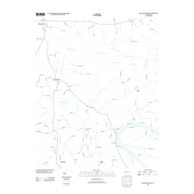
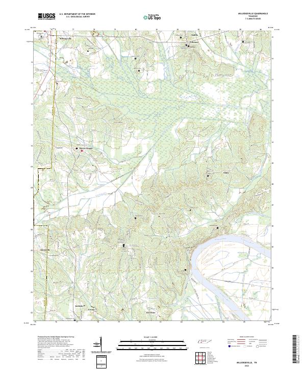
Milledgeville and Morris Chapel anchor this rural Tennessee landscape at the borders of McNairy, Chester, and Hardin counties. The terrain is defined by the sharp transition from the uplands down to the Tennessee River and the expansive Kentucky Lake. The map reveals an intricate network of waterways and engineered drainage projects, including the Bingham Drainage Canal and the White Oak Drainage Canal, which were essential for managing the low-lying bottoms around White Oak Creek.
Find a feature on this map
53 named features on this map. Tap any name to fly to it.
Don’t see what you’re looking for? This feature index may not catch every label — zoom into the map to look around manually.
Map Details
Date Portrayed1949
Date Published1973
PublisherU.S. Geological Survey
Map TypeTopographic
Scale1:24,000
Physical Dimensions22.1 x 27.4 inches
Editions of this 1949 Milledgeville Map
2 editions found
Historical Maps of Adamsville Through Time
7 maps found

Featured Locations
Source Details
SourceU.S. Geological Survey
CopyrightPublic Domain