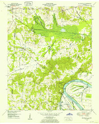
1949 Map of Milledgeville
USGS Topo · Published 1952About this map
Milledgeville and Morris Chapel anchor this late 1940s landscape where the borders of Chester, McNairy, and Hardin counties meet. The survey documents a critical moment in West Tennessee hydrology, showing the Tennessee River as it opens into Kentucky Lake, with its elevation recorded at 361 feet. The drainage of the surrounding lowlands is meticulously detailed through extensive systems like the Middleton Drainage Canal and White Oak Creek, reflecting a heavily engineered agricultural environment.
Find a feature on this map
49 named features on this map. Tap any name to fly to it.
Don’t see what you’re looking for? This feature index may not catch every label — zoom into the map to look around manually.
Map Details
Editions of this 1949 Milledgeville Map
2 editions found
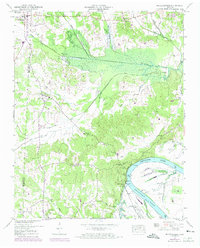
Other maps of this area

1936 · Savannah
USGS Topo · 1:24,000

1936 · Hookers Bend
USGS Topo · 1:24,000

1936 · Leapwood
USGS Topo · 1:24,000

1936 · Thurman
USGS Topo · 1:24,000

1936 · Sardis
USGS Topo · 1:24,000

1936 · Milledgeville
USGS Topo · 1:24,000

1936 · Enville
USGS Topo · 1:24,000

1936 · Pittsburg Landing
USGS Topo · 1:24,000

1936 · Stantonville
USGS Topo · 1:24,000

1949 · Hookers Bend
USGS Topo · 1:24,000