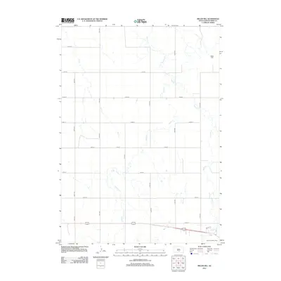
2012 Map of Miller Hill
USGS Topo · Published 2012About this map
Miller Hill rises as a prominent landmark in this segment of Tripp County, South Dakota, characterizing a landscape defined by the drainage patterns of the northern plains. The terrain is intricately etched by a series of waterways, most notably Dog Ear Cr, Owl Cr, and Hollow Cr, which meander through a strictly surveyed grid of section lines. This network of roads, including Dreyer Ave and several numbered avenues and streets, indicates a stable rural infrastructure geared toward ranching and agriculture in the early 21st century. Toward the southeast corner, the Brown Landing Strip provides a point of aerial access, reflecting the vast distances typical of this region's logistical layout.
Find a feature on this map
20 named features on this map. Tap any name to fly to it.
Don’t see what you’re looking for? This feature index may not catch every label — zoom into the map to look around manually.
Map Details
Editions of this 2012 Miller Hill Map
This is the sole edition of this map. No revisions or reprints were ever made.
Other maps of this area

1955 · Martin
USGS Topo · 1:250,000

1955 · Mitchell
USGS Topo · 1:250,000

1958 · Martin
USGS Topo · 1:250,000

1959 · Mitchell
USGS Topo · 1:250,000

1982 · Presho 4 SE
USGS Topo · 1:25,000

1982 · King Dam
USGS Topo · 1:25,000

1982 · Winner North
USGS Topo · 1:25,000

1982 · Witten SE
USGS Topo · 1:25,000

1982 · Witten
USGS Topo · 1:25,000

1982 · Winner South
USGS Topo · 1:25,000