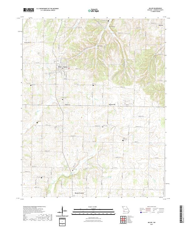
2021 Map of Miller
USGS Topo · Published 2021About this map
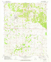
Miller and the surrounding rural landscape of Lawrence County are mapped here in high detail, showcasing a region defined by its numerous small burial grounds and rolling topography. The settlement of Miller serves as a central hub, with streets like S Davis St and S Gilmore St framing its residential core. Beyond the town, the land is etched by a network of drainage ways including Stahl Cr and Truitt Cr, which have carved out distinctive terrain features like Turner Hollow and Sycamore Hollow.
Find a feature on this map
54 named features on this map. Tap any name to fly to it.
Don’t see what you’re looking for? This feature index may not catch every label — zoom into the map to look around manually.
Map Details
Editions of this 2021 Miller Map
This is the sole edition of this map. No revisions or reprints were ever made.