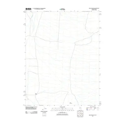
2011 Map of Miller Wash
USGS Topo · Published 2011About this map
Miller Mountain rises above the arid landscape of the Nevada-Utah border, anchoring a region defined by its ephemeral drainages and remote high-desert character. This 2011 survey illustrates a sparse network of local roads and 4WD tracks that traverse the western edge of Beaver County, serving as vital transit corridors through an otherwise open terrain. The hydrological pattern is dominated by seasonal watercourses, most notably Miller Wash and Hyde Wash, which reveal the natural drainage basin of this borderland. The topographic contours provided by the U.S. Geological Survey detail the transition from flat basin floors to the more complex relief of the mountain, offering a clear record of the physical geography before modern environmental shifts or land-use changes.
Find a feature on this map
3 named features on this map. Tap any name to fly to it.
Don’t see what you’re looking for? This feature index may not catch every label — zoom into the map to look around manually.
Map Details
Editions of this 2011 Miller Wash Map
This is the sole edition of this map. No revisions or reprints were ever made.
Other maps of this area

1953 · Richfield
USGS Topo · 1:250,000

1956 · Lund
USGS Topo · 1:250,000

1958 · Richfield
USGS Topo · 1:250,000

1960 · Lund
USGS Topo · 1:250,000

1971 · Mountain Home Pass
USGS Topo · 1:24,000

1971 · Mormon Gap
USGS Topo · 1:24,000

1972 · Rosencrans Knolls
USGS Topo · 1:24,000

1972 · Hamlin Well
USGS Topo · 1:24,000

1972 · Miller Wash
USGS Topo · 1:24,000

1972 · Hyde Well
USGS Topo · 1:24,000