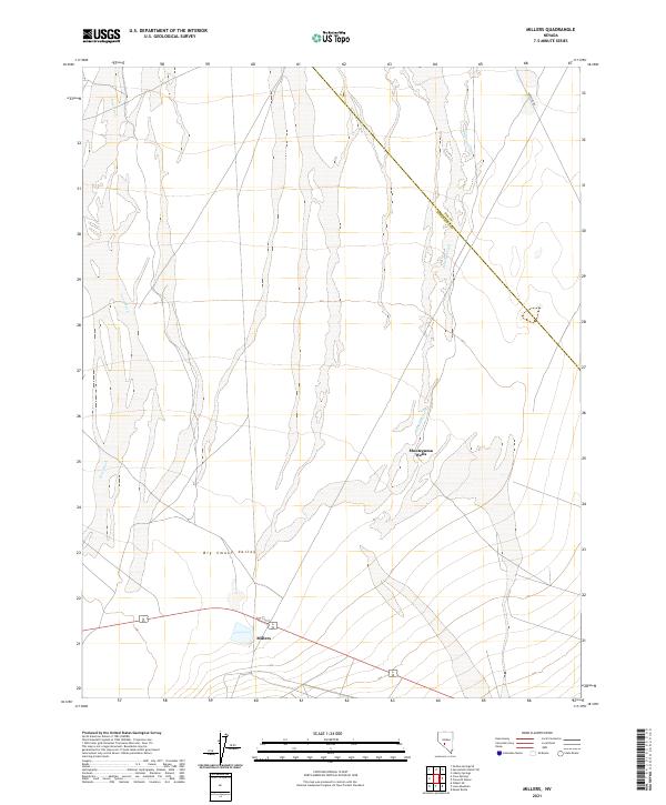
2021 Map of Millers
USGS Topo · Published 2021About this map
Big Smoky Valley dominates this arid landscape at the edge of the Esmeralda and Nye county line. The settlement of Millers serves as the primary focal point in the southern reaches of the valley, situated along a primary transportation corridor. Water, always critical in this high desert environment, is marked by features like Montezuma Wells and the drainage of Peavine Creek. The map documents a sparsely populated but geographically distinct region where drainage patterns like Lone Wash carve through the basin floor. Historically significant routes such as Poleline Rd cut diagonally across the terrain, reflecting the infrastructure required to connect these remote Nevada outposts. This survey provides a clear look at the topographic character and the sparse human footprint in the central Great Basin in the early twenty-first century.
Find a feature on this map
7 named features on this map. Tap any name to fly to it.
Don’t see what you’re looking for? This feature index may not catch every label — zoom into the map to look around manually.
Map Details
Editions of this 2021 Millers Map
This is the sole edition of this map. No revisions or reprints were ever made.
Other maps of this area

1907 · Tonopah
USGS Topo · 1:250,000

1908 · Tonopah
USGS Topo · 1:250,000

1956 · Tonopah
USGS Topo · 1:250,000

1959 · Tonopah
USGS Topo · 1:250,000

1961 · Lone Mtn
USGS Topo · 1:62,500

1962 · Tonopah
USGS Topo · 1:250,000

1964 · San Antonio Ranch
USGS Topo · 1:62,500
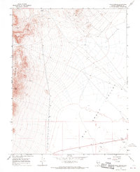
1968 · Crow Springs
USGS Topo · 1:24,000
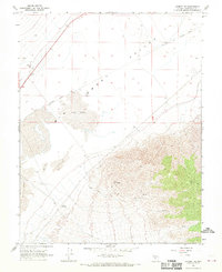
1968 · Gilbert SE
USGS Topo · 1:24,000
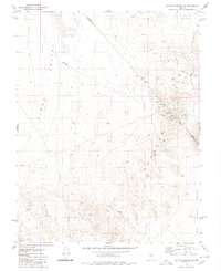
1980 · Outlaw Springs SE
USGS Topo · 1:24,000