Loading...
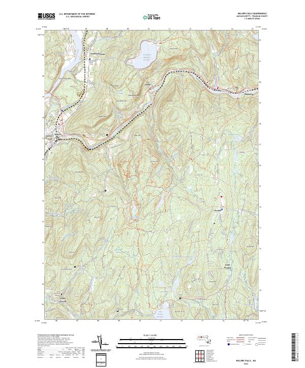
Loading map...2024 Map of Millers Falls
USGS Topo · Published 2024About this map
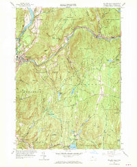
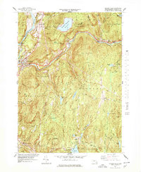
The Millers River carves a significant path through this part of Franklin County, framing the industrial and residential development of Millers Falls and Erving. The landscape is defined by its dramatic elevation changes, where peaks like Poplar Mtn and Bear Mtn overlook the waterway. An unusual engineering feature, the Tailrace Tunnel, connects the Northfield Mountain Reservoir to the river system, highlighting the area's role in regional power infrastructure.
Find a feature on this map
136 named features on this map. Tap any name to fly to it.
Don’t see what you’re looking for? This feature index may not catch every label — zoom into the map to look around manually.
Map Details
Date Portrayed2024
Date Published2024
PublisherU.S. Geological Survey
Map TypeTopographic
Scale1:24000
Physical Dimensions24 x 29 inches
Editions of this 2024 Millers Falls Map
This is the sole edition of this map. No revisions or reprints were ever made.
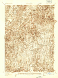
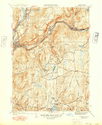
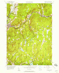
Historical Maps of Montague Through Time
7 maps found
Featured Locations
Source Details
SourceU.S. Geological Survey
CopyrightPublic Domain