
1907 Map of Millerstown
USGS Topo · Published 1907About this map
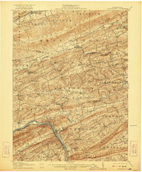
The Juniata River carves a deep valley through the ridges of central Pennsylvania, serving as a vital corridor for the Pennsylvania RR and its Sunbury Branch. This early 20th-century landscape is defined by its industrial and agricultural connectivity, with numerous mills and post offices scattered through the valleys between Shade Mountain and Tuscarora Mountain. Communities like Millerstown and Thompsontown are established hubs alongside the water, while smaller settlements such as Browns Mill Cocolamus PO and Seven Stars Cabala PO anchor the surrounding rural townships.
Find a feature on this map
93 named features on this map. Tap any name to fly to it.
Don’t see what you’re looking for? This feature index may not catch every label — zoom into the map to look around manually.
Map Details
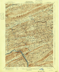
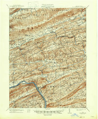
Editions of this 1907 Millerstown Map
4 editions found
Other maps of this area

1892 · Harrisburg
USGS Topo · 1:62,500

1893 · Sunbury
USGS Topo · 1:62,500

1893 · Millersburg
USGS Topo · 1:62,500

1899 · Harrisburg
USGS Topo · 1:62,500

1907 · New Bloomfield
USGS Topo · 1:62,500

1924 · Harrisburg
USGS Topo · 1:62,500

1925 · Mifflintown
USGS Topo · 1:48,000

1930 · Loysville
USGS Topo · 1:62,500

1933 · Loysville
USGS Topo · 1:62,500

1934 · Mifflintown
USGS Topo · 1:62,500
Featured Places
- Beaver Springs, Spring Township
- Millerstown, PA
- Thompsontown, PA
- Monroe Township, PA
- West Perry Township, PA