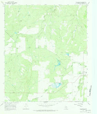
1967 Map of Millersview
USGS Topo · Published 1970About this map
The small settlement of Millersview and the nearby locale of Sampson anchor this 1967 survey of eastern Concho County. This landscape is defined by the headwaters of the Colorado River basin, where North Fork Mustang Creek and West Fork Mustang Creek converge. The era's economic activity is clearly mapped through a scattered network of resource extraction, including several Oil Wells and a Gas Well in the western reaches near Duck Creek. Notable for water management in a semi-arid region, the map details multiple engineered water features, such as Spillway Elev 1699 and Spillway Elev 1672. In addition to the hydrological and industrial markers, researchers will find numerous Gravel Pits and detailed fence lines that trace the division of ranching lands between Amos Cr and Horse Creek.
Find a feature on this map
14 named features on this map. Tap any name to fly to it.
Don’t see what you’re looking for? This feature index may not catch every label — zoom into the map to look around manually.
Map Details
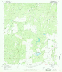
Editions of this 1967 Millersview Map
2 editions found
Other maps of this area

1892 · Eden
USGS Topo · 1:125,000

1892 · Ballinger
USGS Topo · 1:125,000

1896 · Eden
USGS Topo · 1:125,000

1925 · Ballinger 3-d
USGS Topo · 1:48,000

1925 · Ballinger 4-c
USGS Topo · 1:48,000

1931 · Stacy
USGS Topo · 1:62,500

1932 · Voss
USGS Topo · 1:62,500

1932 · Paint Rock
USGS Topo · 1:62,500

1954 · Brownwood
USGS Topo · 1:250,000

1967 · Millersview SE
USGS Topo · 1:24,000