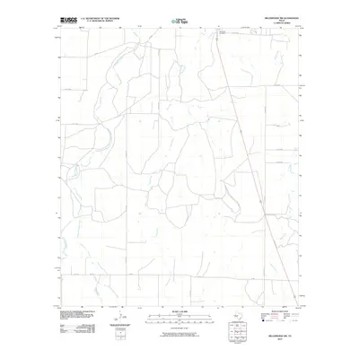
2010 Map of Millersview NW
USGS Topo · Published 2010About this map
Paint Rock Cemetery sits near the northern boundary of this Concho County landscape, serving as a significant genealogical anchor for the region. The area is defined by a dendritic network of seasonal waterways, most notably the winding course of Kickapoo Creek and its branches, Middle Kickapoo Creek and East Kickapoo Creek. These drainages, along with Hog Creek and Duck Creek, illustrate the natural irrigation patterns essential to the ranching and agricultural life of West Texas. A grid of rural roads, including FM 380 and FM 765, connects isolated homesteads and provides access across the arid terrain. The lack of concentrated urban development highlights the persistent rural character of the Texas Edwards Plateau during the early 21st century, where land use remains tied to the intermittent flow of these creeks.
Find a feature on this map
20 named features on this map. Tap any name to fly to it.
Don’t see what you’re looking for? This feature index may not catch every label — zoom into the map to look around manually.
Map Details
Editions of this 2010 Millersview NW Map
This is the sole edition of this map. No revisions or reprints were ever made.
Other maps of this area

1891 · Hayrick
USGS Topo · 1:125,000

1892 · San Angelo
USGS Topo · 1:125,000

1892 · Eden
USGS Topo · 1:125,000

1892 · Ballinger
USGS Topo · 1:125,000

1894 · Hayrick
USGS Topo · 1:125,000

1896 · Eden
USGS Topo · 1:125,000

1921 · Lowake
USGS Topo · 1:31,680

1925 · Ballinger 3-d
USGS Topo · 1:48,000

1932 · Paint Rock
USGS Topo · 1:62,500

1954 · Brownwood
USGS Topo · 1:250,000