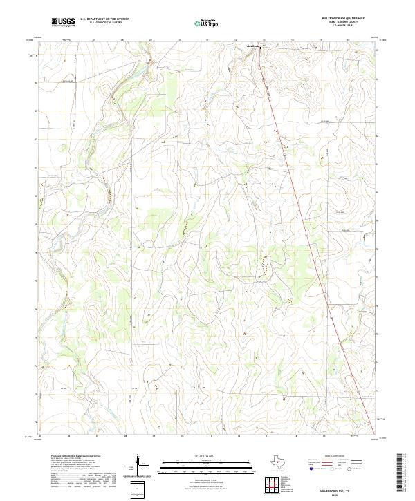
2022 Map of Millersview NW
USGS Topo · Published 2022About this map
Paint Rock serves as the focal point for this section of West Texas, situated near the confluence of several vital watercourses. The landscape is defined by the winding paths of Kickapoo Creek and its tributaries, including Middle Kickapoo Cr and E Kickapoo Cr, which carve through the terrain alongside Hog Cr and Duck Cr. This 2022 survey illustrates a region where ranching and local travel are supported by a network of rural routes such as FM 765 and Ranch Rd 380. Genealogists and local historians will find value in the location of the Paint Rock Cem, a key landmark for documenting the area's heritage and family lineages. The mapping of Amos Cr and the various county roads provides a contemporary view of the enduring rural infrastructure in Concho County.
Find a feature on this map
27 named features on this map. Tap any name to fly to it.
Don’t see what you’re looking for? This feature index may not catch every label — zoom into the map to look around manually.
Map Details
Editions of this 2022 Millersview NW Map
This is the sole edition of this map. No revisions or reprints were ever made.
Other maps of this area

1891 · Hayrick
USGS Topo · 1:125,000

1892 · San Angelo
USGS Topo · 1:125,000

1892 · Eden
USGS Topo · 1:125,000

1892 · Ballinger
USGS Topo · 1:125,000

1894 · Hayrick
USGS Topo · 1:125,000

1896 · Eden
USGS Topo · 1:125,000

1921 · Lowake
USGS Topo · 1:31,680

1925 · Ballinger 3-d
USGS Topo · 1:48,000

1932 · Paint Rock
USGS Topo · 1:62,500

1954 · Brownwood
USGS Topo · 1:250,000