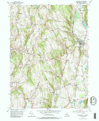
1955 Map of Millerton
USGS Topo · Published 1988About this map
The village of Millerton serves as the focal point of this 1955 survey, situated at the junction of several key routes and the New York Central railroad. This region of eastern Dutchess County demonstrates a traditional agricultural and rural residential pattern, characterized by numerous crossroad hamlets like Spencer Corners, Northeast Center, and Pulvers Corners. The influence of the Harlem Line is evident in the alignment of several smaller settlements, including Coleman Station and Sharon Station near the Connecticut State Line.
Find a feature on this map
52 named features on this map. Tap any name to fly to it.
Don’t see what you’re looking for? This feature index may not catch every label — zoom into the map to look around manually.
Map Details
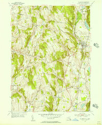
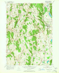
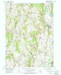
Editions of this 1955 Millerton Map
4 editions found
Other maps of this area

1885 · Sheffield
USGS Topo · 1:62,500

1888 · Sheffield
USGS Topo · 1:62,500

1891 · Sheffield
USGS Topo · 1:62,500

1892 · Cornwall
USGS Topo · 1:62,500

1893 · Sheffield
USGS Topo · 1:62,500

1893 · Cornwall
USGS Topo · 1:62,500

1897 · Sheffield
USGS Topo · 1:62,500

1899 · Housatonic
USGS Topo · 1:125,000

1899 · Millbrook
USGS Topo · 1:62,500

1900 · Housatonic
USGS Topo · 1:125,000