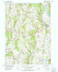
1955 Map of Millerton
USGS Topo · Published 1988About this map
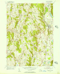
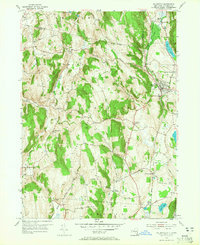
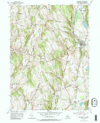
Millerton serves as the focal point of this mid-century landscape where the Harlem Line of the New York Central railroad dictates the pattern of settlement. The iron heritage of the region is evident in place names like Irondale and the extensive Sawmill Brook drainage, while the valley floors are dotted with small rural hamlets such as Coleman Station and Sharon Station. The terrain is defined by the high ridges of Northeast Mountain and Winchell Mountain, separating the Shekomeko Creek watershed from the Webatuck Creek valley to the east. Genealogists can find numerous burial sites, including Irondale Cemetery and The Square Cemetery, alongside local landmarks like Viewpoint School and Perry Corners. This survey captures the rural character of Dutchess County just as the Taconic State Park was establishing its footprint along the Connecticut border near Rudd Pond.
Find a feature on this map
53 named features on this map. Tap any name to fly to it.
Don’t see what you’re looking for? This feature index may not catch every label — zoom into the map to look around manually.
Map Details
Editions of this 1955 Millerton Map
4 editions found
Other maps of this area

1885 · Sheffield
USGS Topo · 1:62,500

1888 · Sheffield
USGS Topo · 1:62,500

1891 · Sheffield
USGS Topo · 1:62,500

1892 · Cornwall
USGS Topo · 1:62,500

1893 · Sheffield
USGS Topo · 1:62,500

1893 · Cornwall
USGS Topo · 1:62,500

1897 · Sheffield
USGS Topo · 1:62,500

1899 · Housatonic
USGS Topo · 1:125,000

1899 · Millbrook
USGS Topo · 1:62,500

1900 · Housatonic
USGS Topo · 1:125,000