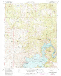
1965 Map of Millerton Lake West
USGS Topo · Published 1985About this map
The waters of Millerton Lake dominate the southeastern landscape of this Madera County survey, created by the impoundment of the San Joaquin River behind Friant Dam. This area represents a critical juncture in California's water history, where the Madera Canal and complex engineering like the Siphon manage the flow from the high Sierra foothills. The shoreline is punctuated by local landmarks such as Winchell Bay and Big Bend, while the land rises sharply to Pincushion Mountain and Hildreth Mountain further north.
Find a feature on this map
48 named features on this map. Tap any name to fly to it.
Don’t see what you’re looking for? This feature index may not catch every label — zoom into the map to look around manually.
Map Details
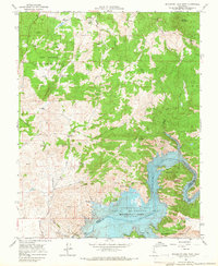
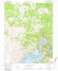
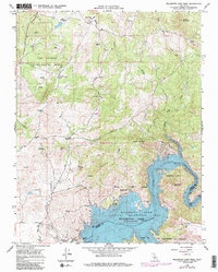
Editions of this 1965 Millerton Lake West Map
4 editions found
Other maps of this area

1912 · Mariposa
USGS Topo · 1:125,000

1916 · Sulphur Springs
USGS Topo · 1:24,000

1919 · Sulphur Springs
USGS Topo · 1:31,680

1919 · Little Table Mountain
USGS Topo · 1:31,680

1922 · Lanes Bridge
USGS Topo · 1:31,680

1922 · Friant
USGS Topo · 1:31,680

1923 · Academy
USGS Topo · 1:31,680

1942 · Raymond
USGS Topo · 1:62,500

1942 · Little Table Mountain
USGS Topo · 1:24,000

1942 · Millerton Lake
USGS Topo · 1:62,500