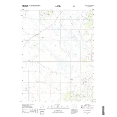
2019 Map of Milligan Lakes
USGS Topo · Published 2019About this map
Michigan Cr and Tarryall Cr define the hydrological character of this high-altitude landscape, where a sophisticated network of historical irrigation infrastructure is documented. Named water diversions such as Whitten Ditch, Packer Ditch, Harlan Ditch, and Randell Ditch demonstrate the essential role of water management in the development of Michigan Hill and the surrounding basin. This survey illustrates how human engineering has historically adapted to the drainage of Packer Gulch and Monahan Gulch within the Pike National Forest. Prominent topographic landmarks like Fremont Knoll and the Continental Mountains provide clear reference points for understanding the early 21st-century configuration of this mountain territory. The map also traces the evolving residential and access roads, from Michigan Hill Rd to various localized courts and ways that signify contemporary land use and parceling.
Find a feature on this map
71 named features on this map. Tap any name to fly to it.
Don’t see what you’re looking for? This feature index may not catch every label — zoom into the map to look around manually.
Map Details
Editions of this 2019 Milligan Lakes Map
This is the sole edition of this map. No revisions or reprints were ever made.
Other maps of this area

1937 · Como
USGS Topo · 1:62,500

1945 · Mount Logan
USGS Topo · 1:24,000

1948 · Mount Logan
USGS Topo · 1:24,000

1953 · Denver
USGS Topo · 1:250,000

1956 · Eagle Rock
USGS Topo · 1:24,000

1956 · Elkhorn
USGS Topo · 1:24,000

1956 · Fairplay East
USGS Topo · 1:24,000

1957 · Denver
USGS Topo · 1:250,000
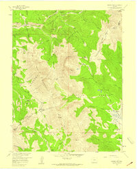
1957 · Boreas Pass
USGS Topo · 1:24,000
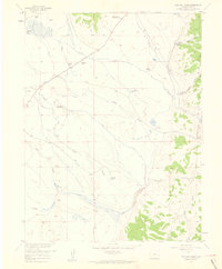
1957 · Milligan Lakes
USGS Topo · 1:24,000