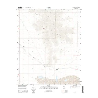
2015 Map of Milligan
USGS Topo · Published 2015About this map
Fishel and Milligan anchor this segment of the Mojave Desert, representing isolated outposts along a sparse transportation corridor. The landscape is defined by the broad, sandy expanse of Ironwood Wash, which courses through the arid terrain, and the diagonal passage of Cadiz Rd connecting these remote points. The map reveals the township and range survey structure common across San Bernardino County, illustrating how public land survey systems organized even the most formidable desert environments. The interplay between the natural drainage patterns and the linear human infrastructure of the road and settlement points highlights the challenges of desert navigation and occupation in the early 21st century.
Find a feature on this map
11 named features on this map. Tap any name to fly to it.
Don’t see what you’re looking for? This feature index may not catch every label — zoom into the map to look around manually.
Map Details
Editions of this 2015 Milligan Map
This is the sole edition of this map. No revisions or reprints were ever made.
Other maps of this area

1942 · Amboy
USGS Topo · 1:250,000

1943 · Amboy
USGS Topo · 1:250,000

1943 · Cadiz Lake
USGS Topo · 1:62,500

1943 · Cadiz Valley
USGS Topo · 1:62,500

1943 · Iron Mountains
USGS Topo · 1:62,500

1954 · Needles
USGS Topo · 1:250,000

1956 · Needles
USGS Topo · 1:250,000

1956 · Milligan
USGS Topo · 1:62,500

1956 · Iron Mountains
USGS Topo · 1:62,500

1956 · Cadiz Lake
USGS Topo · 1:62,500