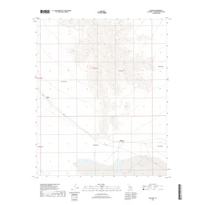
2018 Map of Milligan
USGS Topo · Published 2018About this map
Milligan and Fishel serve as the primary points of human presence in this arid reach of the Mojave Desert. The landscape is defined by the ephemeral drainage of Ironwood Wash, which channels seasonal runoff from the surrounding elevated terrain. Transportation through this remote section of San Bernardino County is anchored by Cadiz Rd, which provides a corridor across the dry expanse. The mapping highlights the township and range divisions, such as t3n r17e and t2n r17e, providing a precise grid for desert land management and historical property research. The relationship between the sparse settlements and the natural washes reflects the logistical challenges of the high desert environment in the early twenty-first century.
Find a feature on this map
11 named features on this map. Tap any name to fly to it.
Don’t see what you’re looking for? This feature index may not catch every label — zoom into the map to look around manually.
Map Details
Editions of this 2018 Milligan Map
This is the sole edition of this map. No revisions or reprints were ever made.
Other maps of this area

1942 · Amboy
USGS Topo · 1:250,000

1943 · Amboy
USGS Topo · 1:250,000

1943 · Cadiz Lake
USGS Topo · 1:62,500

1943 · Cadiz Valley
USGS Topo · 1:62,500

1943 · Iron Mountains
USGS Topo · 1:62,500

1954 · Needles
USGS Topo · 1:250,000

1956 · Needles
USGS Topo · 1:250,000

1956 · Milligan
USGS Topo · 1:62,500

1956 · Iron Mountains
USGS Topo · 1:62,500

1956 · Cadiz Lake
USGS Topo · 1:62,500