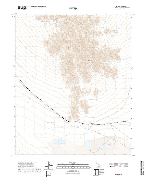
2021 Map of Milligan
USGS Topo · Published 2021About this map
Milligan and Fishel sit as isolated points of reference within the eastern Mojave Desert in this contemporary digital survey. The landscape is defined by the broad transition between the mountainous terrain to the north and the dry expanse of Danby Lake at the southern margin. This region is a classic example of the basin and range geography of San Bernardino, California, where wide alluvial plains like Ward Valley are hemmed in by steep topographic rises. Modern connectivity across this arid reach is maintained by Cadiz Rd, which provides the primary artery through the valley, linking these remote sites to the wider desert infrastructure. The map documents the persistent layout of section lines and township boundaries, such as t3n r17e, which overlay the natural contours of the desert floor.
Find a feature on this map
12 named features on this map. Tap any name to fly to it.
Don’t see what you’re looking for? This feature index may not catch every label — zoom into the map to look around manually.
Map Details
Editions of this 2021 Milligan Map
This is the sole edition of this map. No revisions or reprints were ever made.
Other maps of this area

1942 · Amboy
USGS Topo · 1:250,000

1943 · Amboy
USGS Topo · 1:250,000

1943 · Cadiz Lake
USGS Topo · 1:62,500

1943 · Cadiz Valley
USGS Topo · 1:62,500

1943 · Iron Mountains
USGS Topo · 1:62,500

1954 · Needles
USGS Topo · 1:250,000

1956 · Needles
USGS Topo · 1:250,000

1956 · Milligan
USGS Topo · 1:62,500

1956 · Iron Mountains
USGS Topo · 1:62,500

1956 · Cadiz Lake
USGS Topo · 1:62,500