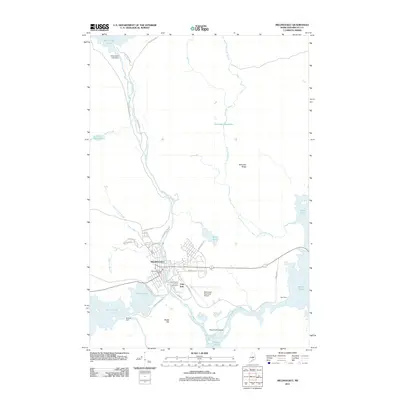
2011 Map of Millinocket
USGS Topo · Published 2011About this map
Millinocket sits at the heart of this North Woods survey, defined by the intersection of industrial development and the vast waters of the Penobscot watershed. The town's grid is bounded by Millinocket Stream, which connects Millinocket Lake to the north with Shad Pond to the south. Local landmarks like the Millinocket Post Office and Saint Martin of Tours church anchor the community, while the neighborhood of Little Italy points to the area's rich social history.
Find a feature on this map
41 named features on this map. Tap any name to fly to it.
Don’t see what you’re looking for? This feature index may not catch every label — zoom into the map to look around manually.
Map Details
Editions of this 2011 Millinocket Map
This is the sole edition of this map. No revisions or reprints were ever made.
Other maps of this area

1927 · Katahdin
USGS Topo · 1:48,000

1930 · Katahdin
USGS Topo · 1:62,500

1949 · Katahdin
USGS Topo · 1:62,500

1951 · Norcross
USGS Topo · 1:62,500

1951 · Millinocket
USGS Topo · 1:62,500

1953 · Stacyville
USGS Topo · 1:62,500

1954 · Millinocket
USGS Topo · 1:250,000

1958 · Millinocket
USGS Topo · 1:250,000

1960 · Millinocket
USGS Topo · 1:250,000

1975 · Millinocket SW
USGS Topo · 1:24,000