Old Maps of T1 R8 WELS, Maine
Explore 37 old maps of T1 R8 WELS, spanning from 1927 to today. These high-resolution historic maps reveal how streets, neighborhoods, landmarks, and natural features evolved over time — perfect for genealogy, metal detecting, research, and local history exploration.
What you can do with these maps:
- See how T1 R8 WELS changed over time: Compare historical maps to modern-day views to trace roads, homesites, rail lines & more.
- View detailed metadata: Each map includes creators, publishers, year, scale, and archive source.
- Overlay maps with satellite & LiDAR: Visualize the past alongside modern tools to explore terrain & human change.
- Trusted historical sources: Maps sourced from the USGS, Library of Congress, and other archives.
- Access maps your way: View online, download high-res files, or order prints for personal or research use.
Start exploring old maps of T1 R8 WELS to uncover forgotten places, hidden landmarks, and the deep history beneath your feet.
T1 R8 WELS, ME maps
(37)- 1927 Map of Katahdin
 1927 Katahdin1927 Print · USGSNorthern Maine during the late 1920s offered a landscape of wilderness outposts and towering peaks within the Katahdin Park Game Preserve. Trace old logging ways and early recreation spots like Traceys Camp, Pitmans Garage, and Monument Peak.
 - 1930 Map of Katahdin
 1930 Katahdin1930 Print · USGSBackcountry Maine in the late 1920s offered a rugged landscape of newly surveyed trails and remote outposts. You can trace the early paths to Mount Katahdin and locate historic sites like Sewell Camp, Katahdin Lake Camp, and New City.6 unique versions available
 - 1949 Map of Katahdin, 1955 Print
 1949 Katahdin1955 Print · USGSThe Maine North Woods in the late 1940s centers on the rise of Baxter State Park and the towering peak of Mount Katahdin. Researchers can trace early backcountry infrastructure like Joe Francis Camp, the Tote Road, and the original Abol Campsite.10 unique versions available
 - 1951 Map of Norcross, 1953 Print
 1951 Norcross1953 Print · USGSThe Maine North Woods at mid-century reveal a complex logging and sporting landscape centered on the village of Norcross. Researchers can trace the legacy of the timber trade and wilderness camps at the Boom House, Ambajejus Camps, and Stephensons Landing.5 unique versions available
 - 1951 Map of Millinocket, 1953 Print
 1951 Millinocket1953 Print · USGSThe river-driven industrial landscape of northern Maine comes into focus in the early fifties, where the Penobscot forks meet at Medway. Genealogists and historians can trace the Bangor and Aroostook rail line and locate Bethel Ch or the Lynch Cem.4 unique versions available
 - 1953 Map of Stacyville, 1956 Print
 1953 Stacyville1956 Print · USGSThe North Woods of Penobscot County come into focus during the early 1950s, showing a landscape of logging camps and mountain lookouts. Researchers can locate remote sites like Hunt Farm, the Fire Tower on Deasey Mtn, and the old Deasey Dam along the riverbanks.4 unique versions available
 - 1954 Map of Millinocket, 1968 Print
 1954 Millinocket1968 Print · USGSMaine's North Woods and the Penobscot Valley are captured here during the mid-century era of logging and rail dominance. You can trace the path of the Bangor and Aroostook Railroad through timber towns like Millinocket, Mattawamkeag, and Silver Ridge.3 unique versions available
 - 1958 Map of Millinocket
 1958 Millinocket1958 Print · USGSMaine's North Woods and the Penobscot river valley are captured here in the mid-1950s, showing a landscape of timber, rail, and wild waters. Researchers can trace the legacy of the Canadian Pacific railroad and find historic settlements like Millinocket, Sherman Station, and Mattawamkeag.
 - 1960 Map of Millinocket
 1960 Millinocket1960 Print · USGSThe Maine North Woods and Penobscot River valley are captured at mid-century during the height of the paper milling era. Researchers can trace the Appalachian Trail near Mount Katardin or locate family roots in towns like Dover-Foxcroft and Milo.3 unique versions available
 - 1975 Map of Stacyville SW, 1980 Print
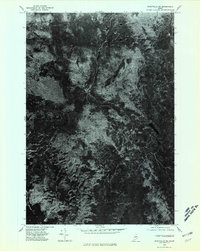 1975 Stacyville SW1980 Print · USGSPenobscot County in the mid-seventies remains a landscape of dense timber and quiet water in this aerial survey. Modern researchers can study the untouched forest canopy and natural shorelines around Millinocket Lake, Kelloch Mountain, and Whetstone Mountain.
 - 1978 Map of Trout Mountain, 1981 Print
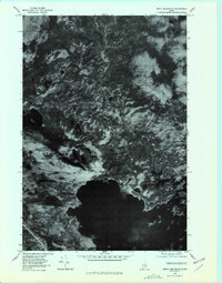 1978 Trout Mountain1981 Print · USGSThe Penobscot wilderness is captured in detailed aerial imagery in the late 1970s, showcasing the intricate shoreline of Millinocket Lake. Researchers can trace natural water features like Sandy Stream and the remote Bottle Pond near Trout Mountain.
 - 1978 Map of Norcross, 1981 Print
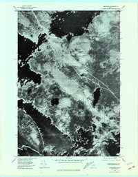 1978 Norcross1981 Print · USGSThe interconnected waterways of Penobscot County are captured in this late 1970s aerial survey. You can trace the shorelines of Millinocket Lake and the settlement at Norcross, alongside landmarks like Black Cat Mountain.
 - 1985 Map of Millinocket, 1986 Print
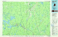 1985 Millinocket1986 Print · USGSThe North Maine Woods were a landscape of industrial timber and wilderness recreation in the mid-eighties. Genealogists and researchers can trace local settlements and rail stops like Sherman Mills, Wytopitlock, and the Old Long A Siding near the Penobscot River.2 unique versions available
 - 1988 Map of Norcross
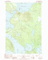 1988 Norcross1988 Print · USGSThe Penobscot lake country comes alive in this late-century survey of the island-dotted waters surrounding the settlement of Norcross. Researchers can trace the rail infrastructure at Quakish Siding or explore the shorelines of Ambajejus Lake and Wadleigh Pond.
 - 1988 Map of Trout Mtn
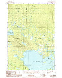 1988 Trout Mtn1988 Print · USGSThe Maine North Woods and the southern reaches of Baxter State Park are captured here in the late 1980s. Outdoor enthusiasts and local historians can trace the shorelines of Millinocket Lake and locate landmarks like Trout Mountain and Powers Point.
 - 1988 Map of Millinocket
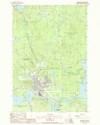 1988 Millinocket1988 Print · USGSMillinocket and its surrounding townships are shown here in the late eighties, dominated by the heavy industry and river networks of Penobscot County. Genealogists and local historians can trace the streets of Little Italy, locate the Cem, and explore the river infrastructure near Quakish Dam.
 - 1989 Map of Whetstone Mountain
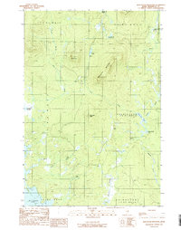 1989 Whetstone Mountain1989 Print · USGSPenobscot County timberlands and remote ponds are captured here in the late eighties during a period of transition for Maine's North Woods. Trace the complex waterways around Millinocket Lake and locate landmarks like Whetstone Mountain or the remote Soldier Pond.
 - 2011 Map of Millinocket, 2011 Print
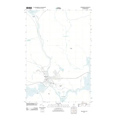 2011 Millinocket2011 Print · USGSMillinocket is captured in the early twenty-first century as a hub of the Maine woods, surrounded by the managed waters of the Penobscot. Researchers can locate the Little Italy neighborhood, Saint Martin of Tours church, and landmarks like the Quakish Dam.
 - 2011 Map of Trout Mountain, 2011 Print
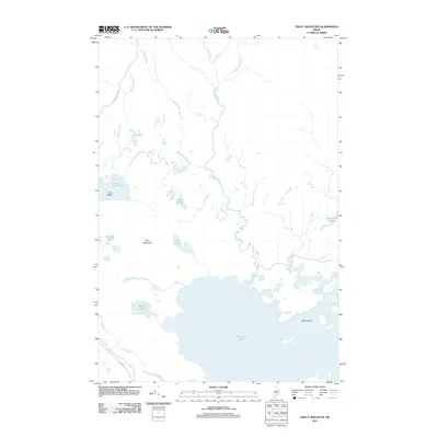 2011 Trout Mountain2011 Print · USGSThe wilderness of Penobscot County is captured here in the early 2000s, showing a landscape of vast lakes and timber access routes. Trace the course of the Golden Rd or explore the shores of Millinocket Lake and Lower Togue Pond.
 - 2011 Map of Whetstone Mountain, 2011 Print
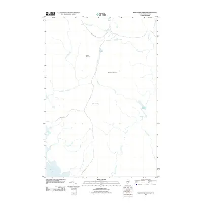 2011 Whetstone Mountain2011 Print · USGSPenobscot County’s deep woods appear in high detail during the early 2010s, showcasing a landscape of timber ridges and remote water. Trace the logging routes of Stacyville Rd and Swift Brook Rd as they pass Whetstone Mountain and Millinocket Lake.
 - 2011 Map of Norcross, 2011 Print
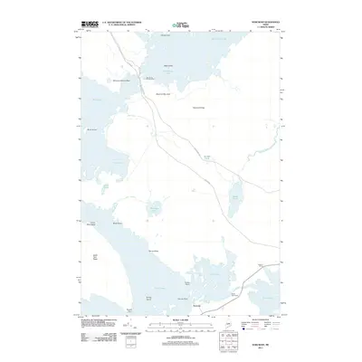 2011 Norcross2011 Print · USGSMaine's North Woods at the start of the 2010s are defined by the logging and recreational networks surrounding the Twin Lakes. Researchers can trace transport routes like the Golden Rd, locate the Millinocket Seaplane Base, and explore landmarks such as Norcross and the North Twin Dam.
 - 2014 Map of Millinocket, 2014 Print
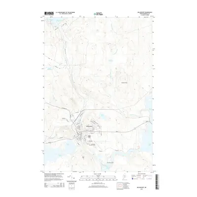 2014 Millinocket2014 Print · USGSMillinocket and the neighborhood of Little Italy appear at a modern crossroads of industry and wilderness in the early twenty-first century. Researchers can trace the local street grid and find landmarks like Saint Martin of Tours Cem and the Millinocket Municipal Airport.
 - 2014 Map of Trout Mountain, 2014 Print
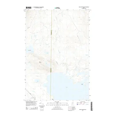 2014 Trout Mountain2014 Print · USGSThe North Maine Woods are captured here in the early twenty-first century as a landscape of timber roads and deep lake basins. Researchers can trace the drainage of Trout Mountain through Sandy Stream and identify landings at Millinocket Lake or Picker Cove.
 - 2014 Map of Whetstone Mountain, 2014 Print
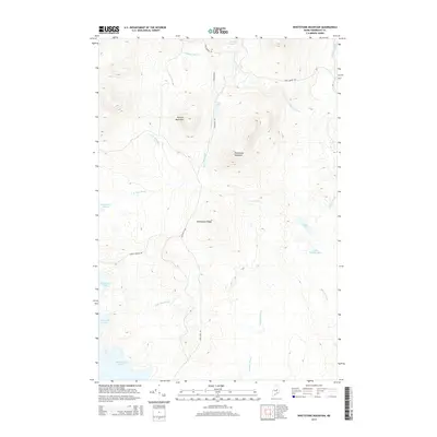 2014 Whetstone Mountain2014 Print · USGSPenobscot County’s wild backcountry is captured here in the early twenty-first century, showcasing the terrain between the mountains and the Great North Woods. Researchers can trace the logging corridors of Stacyville Rd and the waterways of Sandbank Stream and Millinocket Lake.
 - 2014 Map of Norcross, 2014 Print
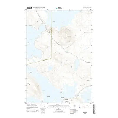 2014 Norcross2014 Print · USGSThe waters of the Maine North Woods converge at Norcross in this recent survey of the Penobscot river-and-lake system. Outdoor historians and genealogists can trace the shorelines of Millinocket Lake, Pemadumcook Lake, and the heights of Black Cat Mountain.
Showing maps 1-25 of 37
Top cities near T1 R8 WELS
- Millinocket historical maps
- East Millinocket historical maps
- Medway historical maps
- Patten historical maps
- Stacyville historical maps
Frequently asked questions
- What are the different types of historical maps available for T1 R8 WELS?
- What is the oldest map of T1 R8 WELS?
- Where can I purchase historical maps of T1 R8 WELS for my home or office?
- Where can I download high-res historical maps of T1 R8 WELS?
- Are there historical topographic maps available for T1 R8 WELS?
- Is there historical aerial imagery available for T1 R8 WELS?
- Where are historical maps of T1 R8 WELS sourced from?