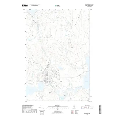
2018 Map of Millinocket
USGS Topo · Published 2018About this map
Millinocket serves as the focal point of this survey, established where the Millinocket Stream meets a complex network of waterways in the Penobscot Valley. The town's grid is meticulously detailed, showing the layout from Katadhdin Ave to Aroostook Ave Exn, including the Saint Martin of Tours Cem and the Millinocket Municipal Airport. The landscape is dominated by the flow of the West Branch Penobscot River, which connects Quakish Lake, Ferguson Lake, and Dolby Pond.
Find a feature on this map
59 named features on this map. Tap any name to fly to it.
Don’t see what you’re looking for? This feature index may not catch every label — zoom into the map to look around manually.
Map Details
Editions of this 2018 Millinocket Map
This is the sole edition of this map. No revisions or reprints were ever made.
Other maps of this area

1927 · Katahdin
USGS Topo · 1:48,000

1930 · Katahdin
USGS Topo · 1:62,500

1949 · Katahdin
USGS Topo · 1:62,500

1951 · Norcross
USGS Topo · 1:62,500

1951 · Millinocket
USGS Topo · 1:62,500

1953 · Stacyville
USGS Topo · 1:62,500

1954 · Millinocket
USGS Topo · 1:250,000

1958 · Millinocket
USGS Topo · 1:250,000

1960 · Millinocket
USGS Topo · 1:250,000

1975 · Millinocket SW
USGS Topo · 1:24,000