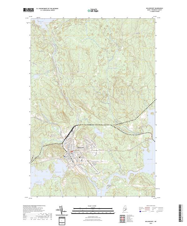
2024 Map of Millinocket
USGS Topo · Published 2024About this map
Millinocket serves as a northern gateway in Penobscot County, defined by its complex network of waterways and the industrial and civic layout of the town center. The landscape is dominated by the flow of Millinocket Stream as it moves south toward Ferguson Lake and Quakish Lake, and the expansive Schoodic Deadwater to the east. The town's grid is dense with named streets, reflecting a community built around the local pulp and paper industry, with prominent landmarks such as the Maine District Court Millinocket and the Millinocket Municipal Airport situated near the urban edge.
Find a feature on this map
66 named features on this map. Tap any name to fly to it.
Don’t see what you’re looking for? This feature index may not catch every label — zoom into the map to look around manually.
Map Details
Editions of this 2024 Millinocket Map
This is the sole edition of this map. No revisions or reprints were ever made.
Other maps of this area

1927 · Katahdin
USGS Topo · 1:48,000

1930 · Katahdin
USGS Topo · 1:62,500

1949 · Katahdin
USGS Topo · 1:62,500

1951 · Norcross
USGS Topo · 1:62,500

1951 · Millinocket
USGS Topo · 1:62,500

1953 · Stacyville
USGS Topo · 1:62,500

1954 · Millinocket
USGS Topo · 1:250,000

1958 · Millinocket
USGS Topo · 1:250,000

1960 · Millinocket
USGS Topo · 1:250,000

1975 · Millinocket SW
USGS Topo · 1:24,000