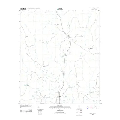
2011 Map of Millry North
USGS Topo · Published 2011About this map
Millry and Healing Springs anchor the southern portion of this landscape, situated along the upper reaches of Mill Creek. The area is defined by a dense network of small rural cemeteries and family-named roads that suggest long-standing genealogical roots in Washington County. In the north, Cullomburg serves as a local hub near Turkey Creek, surrounded by landmarks like Singley Cemetery and White Cemetery. The terrain is deeply carved by watercourses including Cope Creek and Brier Creek, which feed into the larger creek systems. Cultural features such as the Millry Post Office and Martin Millpond indicate a settled rural economy, while smaller settlements like Koenton and Rescueville are linked by winding routes like Koenton Rd and Blue Dirt Rd. This survey documents the persistent rural character of southwest Alabama as it appeared in the early 2010s.
Find a feature on this map
59 named features on this map. Tap any name to fly to it.
Don’t see what you’re looking for? This feature index may not catch every label — zoom into the map to look around manually.
Map Details
Editions of this 2011 Millry North Map
This is the sole edition of this map. No revisions or reprints were ever made.
Other maps of this area

1953 · Hattiesburg
USGS Topo · 1:250,000

1958 · Hattiesburg
USGS Topo · 1:250,000

1971 · Bigbee
USGS Topo · 1:24,000

1971 · Bladon Springs
USGS Topo · 1:24,000

1971 · Coffeeville Lock And Dam
USGS Topo · 1:24,000

1974 · Millry South
USGS Topo · 1:24,000

1974 · Millry North
USGS Topo · 1:24,000

1974 · Silas
USGS Topo · 1:24,000

1974 · Copeland
USGS Topo · 1:24,000

1974 · Isney
USGS Topo · 1:24,000