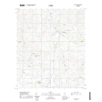
2020 Map of Millry North
USGS Topo · Published 2020About this map
Healing Springs and its namesake Healing Springs Cemetery sit at the center of a landscape defined by the intersection of Washington and Choctaw counties. This rural corridor in Southwest Alabama is dotted with small, historic communities such as Cullomburg, Koenton, and Dunbar, which serve as focal points for a network of local roads including Sam Wood Rd and Blue Dirt Rd. The terrain is characterized by a dense system of waterways like Turkey Creek, Crosbys Creek, and Dunbar Creek that carve through the pine-covered hills.
Find a feature on this map
63 named features on this map. Tap any name to fly to it.
Don’t see what you’re looking for? This feature index may not catch every label — zoom into the map to look around manually.
Map Details
Editions of this 2020 Millry North Map
This is the sole edition of this map. No revisions or reprints were ever made.
Other maps of this area

1953 · Hattiesburg
USGS Topo · 1:250,000

1958 · Hattiesburg
USGS Topo · 1:250,000

1971 · Bigbee
USGS Topo · 1:24,000

1971 · Bladon Springs
USGS Topo · 1:24,000

1971 · Coffeeville Lock And Dam
USGS Topo · 1:24,000

1974 · Millry South
USGS Topo · 1:24,000

1974 · Millry North
USGS Topo · 1:24,000

1974 · Silas
USGS Topo · 1:24,000

1974 · Copeland
USGS Topo · 1:24,000

1974 · Isney
USGS Topo · 1:24,000