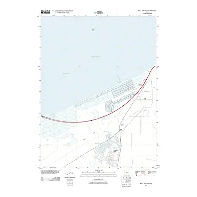
2011 Map of Mills Junction
USGS Topo · Published 2011About this map
Tooele Valley meets the southern waters of the Great Salt Lake in this 2011 survey, showing the residential expansion and irrigation systems at the edge of the desert. The planned community of Stansbury Park dominates the southern portion of the map, centered around the man-made Stansbury Lake and the adjacent Mill Pond. These water features, alongside the Irrigation Canal and nearby Mill Pond Farm, illustrate the intensive water management required for settlement in this arid landscape.
Find a feature on this map
24 named features on this map. Tap any name to fly to it.
Don’t see what you’re looking for? This feature index may not catch every label — zoom into the map to look around manually.
Map Details
Editions of this 2011 Mills Junction Map
This is the sole edition of this map. No revisions or reprints were ever made.
Other maps of this area

1885 · Tooele Valley
USGS Topo · 1:250,000

1952 · Bingham Canyon
USGS Topo · 1:24,000

1952 · Antelope Island South
USGS Topo · 1:24,000

1952 · Garfield
USGS Topo · 1:24,000

1953 · Tooele
USGS Topo · 1:250,000

1955 · Mills Junction
USGS Topo · 1:24,000

1955 · Burmester
USGS Topo · 1:24,000

1955 · Grantsville
USGS Topo · 1:24,000

1955 · Tooele
USGS Topo · 1:250,000

1955 · Tooele
USGS Topo · 1:24,000