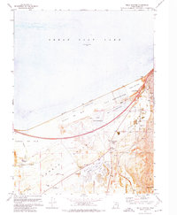
1972 Map of Mills Junction
USGS Topo · Published 1974About this map
Industrial salt production and the evolving shoreline of the Great Salt Lake define this corner of the Tooele Valley in the early 1970s. Extensive salt evaporators and areas marked as Western Salt Alkali or Mud dominate the northern landscape, illustrating the region's extraction-based economy. Local transportation is centered on the Union Pacific rail lines and the newly developed Lake Point Interchange, which connects the small settlements of Lake Point and Mills Junction to the broader corridor.
Find a feature on this map
26 named features on this map. Tap any name to fly to it.
Don’t see what you’re looking for? This feature index may not catch every label — zoom into the map to look around manually.
Map Details
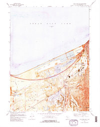
Editions of this 1972 Mills Junction Map
2 editions found
Other maps of this area

1885 · Tooele Valley
USGS Topo · 1:250,000

1952 · Bingham Canyon
USGS Topo · 1:24,000

1952 · Antelope Island South
USGS Topo · 1:24,000

1952 · Garfield
USGS Topo · 1:24,000

1953 · Tooele
USGS Topo · 1:250,000

1955 · Mills Junction
USGS Topo · 1:24,000

1955 · Burmester
USGS Topo · 1:24,000

1955 · Grantsville
USGS Topo · 1:24,000

1955 · Tooele
USGS Topo · 1:250,000

1955 · Tooele
USGS Topo · 1:24,000