2023 Map of Millstone
USGS Topo · Published 2023About this map
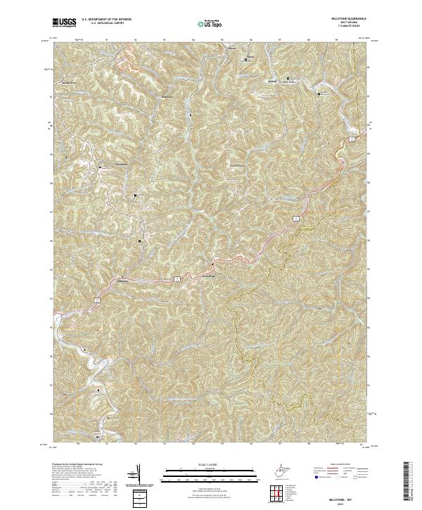
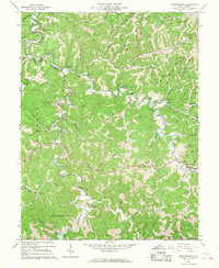
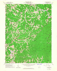
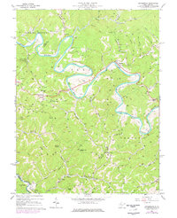
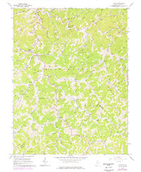
Millstone and Sand Ridge anchor this study of the West Virginia highlands, where the local terrain is defined by the prominent Sassafras Ridge and the winding course of Steer Creek along the eastern boundary. The landscape is characterized by a dense network of hollows and runs, including Poplar Hollow and the waters of Crummis Creek and Bear Fork. For those researching family history in Calhoun County, the map provides an exceptional record of small community burial grounds. These include family-named sites such as Sylvester Stump Cem, Knotts Cem, Carpenter Cem, and the Sycamore Baptist Cem. The transition from the settlements at Mount Zion and Sycamore down toward the Sand Ridge Rd corridor reveals a long-established pattern of ridge-top travel and creek-bottom habitation common to the central Appalachian plateau.
Find a feature on this map
95 named features on this map. Tap any name to fly to it.
Don’t see what you’re looking for? This feature index may not catch every label — zoom into the map to look around manually.
Map Details
Editions of this 2023 Millstone Map
This is the sole edition of this map. No revisions or reprints were ever made.
Historical Maps of Staten Through Time
11 maps found
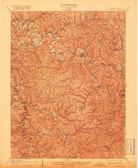
1907 Arnoldsburg
Calhoun County, WV
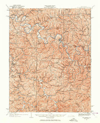
1925 Arnoldsburg
Calhoun County, WV
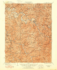
1927 Arnoldsburg
Calhoun County, WV
1965 Arnoldsburg
Calhoun County, WV
1965 Millstone
Calhoun County, WV
1966 Annamoriah
Calhoun County, WV
1966 Chloe
Calhoun County, WV
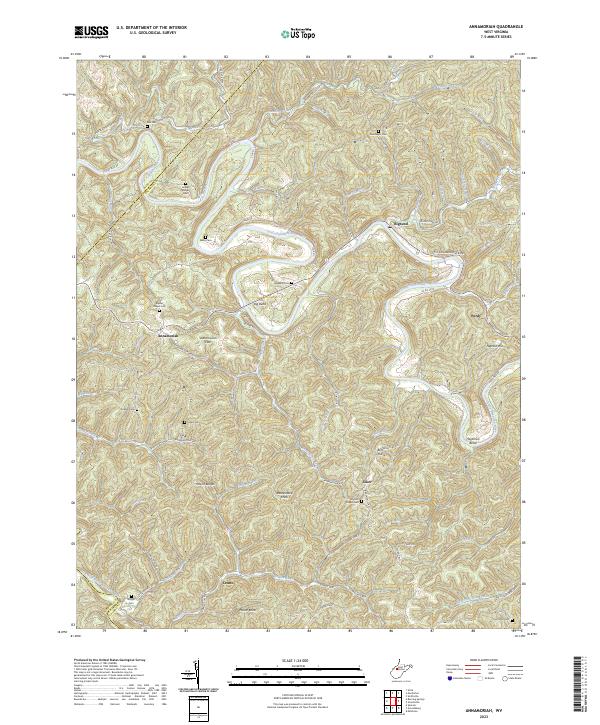
2023 Annamoriah
Calhoun County, WV
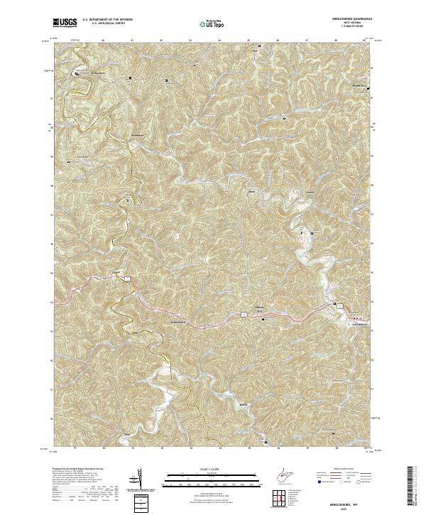
2023 Arnoldsburg
Calhoun County, WV
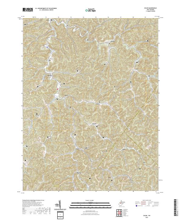
2023 Chloe
Calhoun County, WV
2023 Millstone
Calhoun County, WV