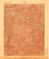
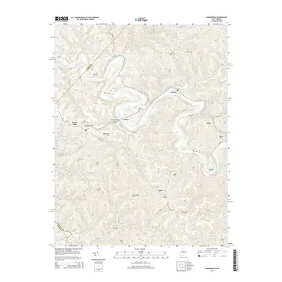
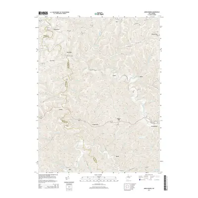
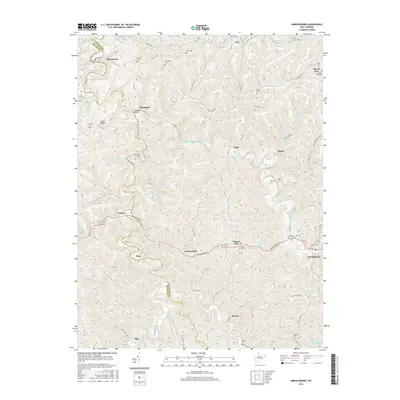
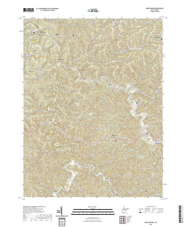
1907 Map of Arnoldsburg
USGS Topo · Published 1918About this map
The Little Kanawha River dictates the settlement pattern of this West Virginia landscape, winding through a complex network of ridges and narrow valleys. This 1905 survey reveals the region's development prior to modern highway expansion, showing the prominence of river-bank communities like Grantsville and Big Bend PO. The map serves as a vital record for genealogists, documenting several rural congregations such as Bluehead Church and Mt Vernon Church, alongside family-named landmarks like Palsor Knob and Kite Knob.
Find a feature on this map
132 named features on this map. Tap any name to fly to it.
Don’t see what you’re looking for? This feature index may not catch every label — zoom into the map to look around manually.
Map Details
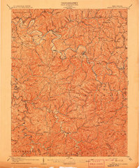
Editions of this 1907 Arnoldsburg Map
2 editions found
Historical Maps of Grantsville Through Time
27 maps found
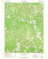
1907 Arnoldsburg
Calhoun County, WV
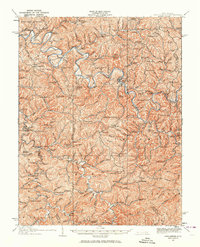
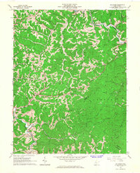
1925 Arnoldsburg
Calhoun County, WV
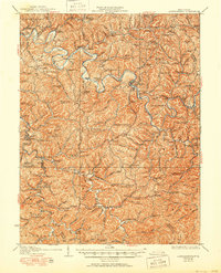
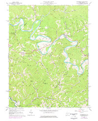
1927 Arnoldsburg
Calhoun County, WV
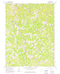
1965 Arnoldsburg
Calhoun County, WV
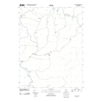
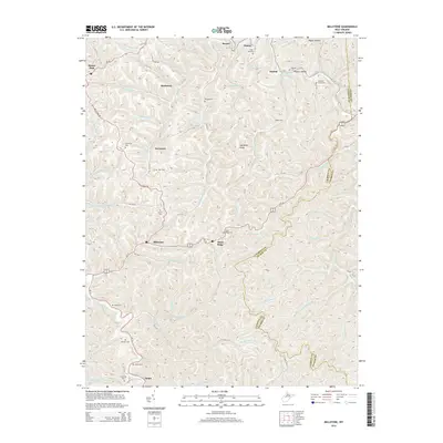
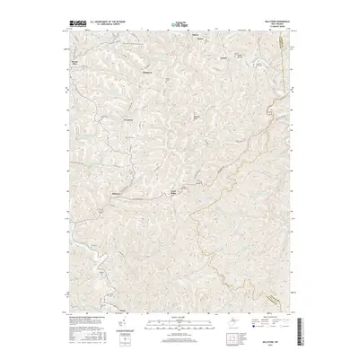
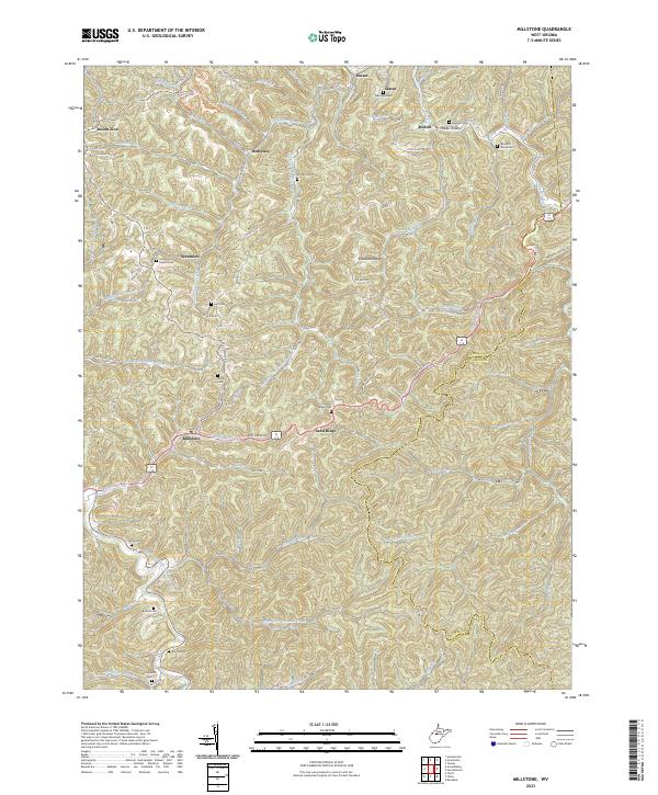
1965 Millstone
Calhoun County, WV
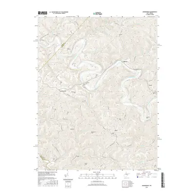
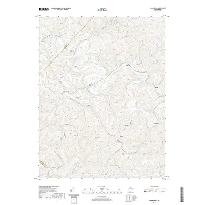
1966 Annamoriah
Calhoun County, WV
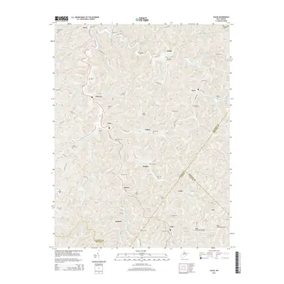
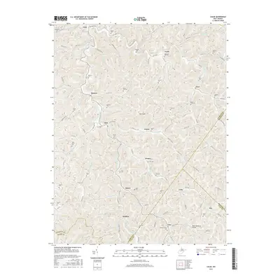
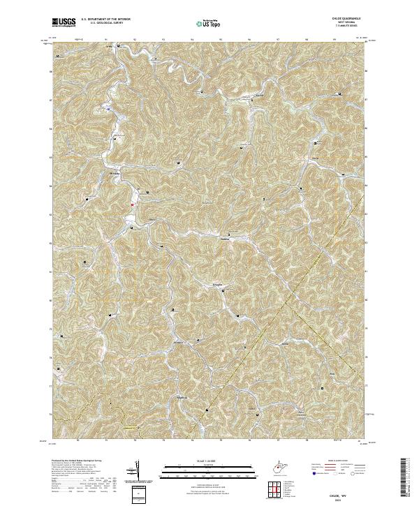
1966 Chloe
Calhoun County, WV
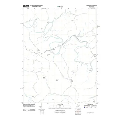
2011 Annamoriah
Calhoun County, WV
2011 Arnoldsburg
Calhoun County, WV

2011 Chloe
Calhoun County, WV
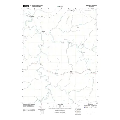
2011 Millstone
Calhoun County, WV
2014 Annamoriah
Calhoun County, WV
2014 Arnoldsburg
Calhoun County, WV
2014 Chloe
Calhoun County, WV
2014 Millstone
Calhoun County, WV
2016 Annamoriah
Calhoun County, WV
2016 Arnoldsburg
Calhoun County, WV
2016 Chloe
Calhoun County, WV
2016 Millstone
Calhoun County, WV
2019 Annamoriah
Calhoun County, WV
2019 Arnoldsburg
Calhoun County, WV
2019 Chloe
Calhoun County, WV
2019 Millstone
Calhoun County, WV
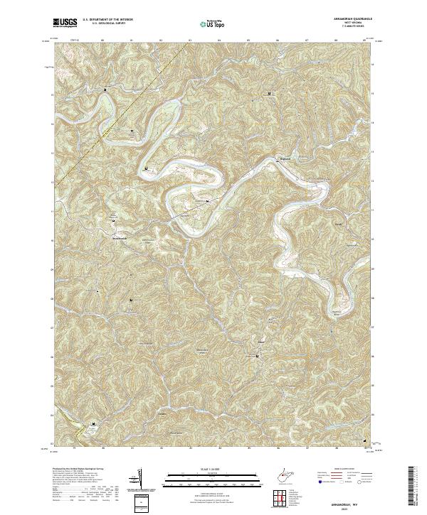
2023 Annamoriah
Calhoun County, WV
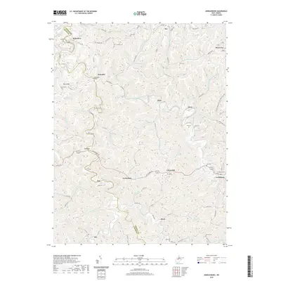
2023 Arnoldsburg
Calhoun County, WV
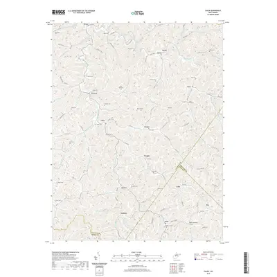
2023 Chloe
Calhoun County, WV
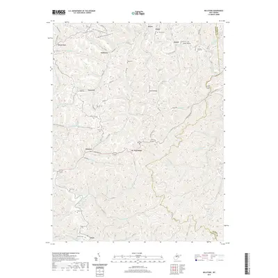
2023 Millstone
Calhoun County, WV