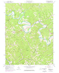
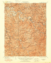
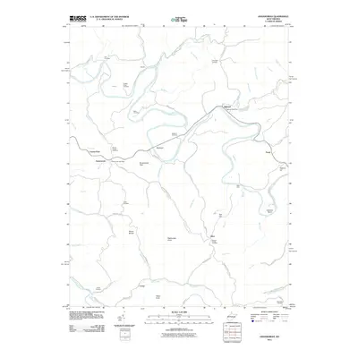
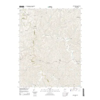
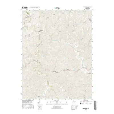
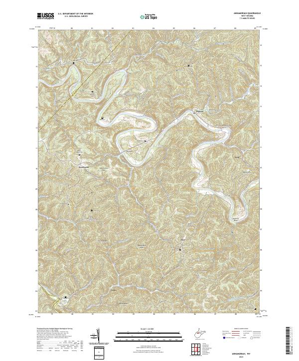
1966 Map of Annamoriah
USGS Topo · Published 1977About this map
The Little Kanawha River carves a dramatic path through this central West Virginia landscape, punctuated by the sharp oxbow of the Big Bend and Hardman Bend. In the late 1960s, this region was defined by its scattered rural communities and specialized industry, with significant gas and oil development indicated by the concentration of wells throughout the Sheridan and Center districts. The settlement of Annamoriah and the nearby Annamoriah Flats serve as local hubs, while smaller locales like Industry and Joker highlight the dispersed nature of historical Appalachian foothill life.
Find a feature on this map
67 named features on this map. Tap any name to fly to it.
Don’t see what you’re looking for? This feature index may not catch every label — zoom into the map to look around manually.
Map Details
Editions of this 1966 Annamoriah Map
2 editions found
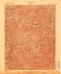
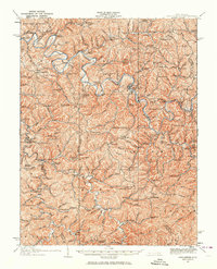
Historical Maps of Joker Through Time
27 maps found
1907 Arnoldsburg
Calhoun County, WV
1925 Arnoldsburg
Calhoun County, WV
1927 Arnoldsburg
Calhoun County, WV
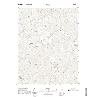
1965 Arnoldsburg
Calhoun County, WV
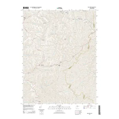
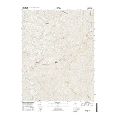
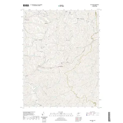
1965 Millstone
Calhoun County, WV
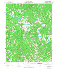
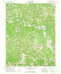
1966 Annamoriah
Calhoun County, WV
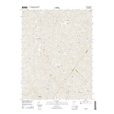
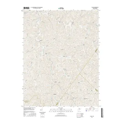
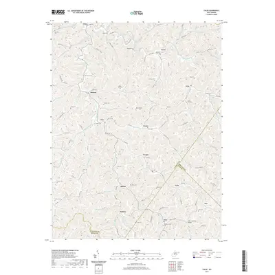
1966 Chloe
Calhoun County, WV
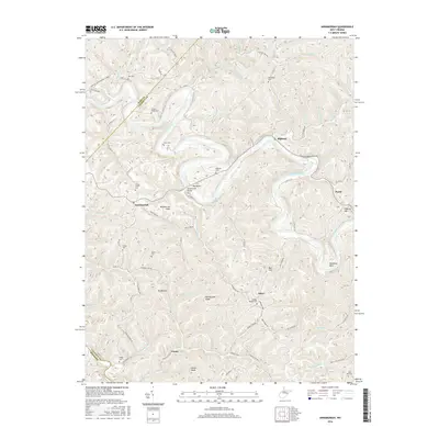
2011 Annamoriah
Calhoun County, WV
2011 Arnoldsburg
Calhoun County, WV

2011 Chloe
Calhoun County, WV
2011 Millstone
Calhoun County, WV
2014 Annamoriah
Calhoun County, WV
2014 Arnoldsburg
Calhoun County, WV
2014 Chloe
Calhoun County, WV
2014 Millstone
Calhoun County, WV
2016 Annamoriah
Calhoun County, WV
2016 Arnoldsburg
Calhoun County, WV
2016 Chloe
Calhoun County, WV
2016 Millstone
Calhoun County, WV
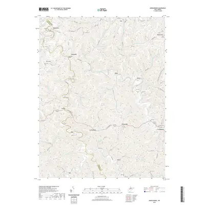
2019 Annamoriah
Calhoun County, WV
2019 Arnoldsburg
Calhoun County, WV
2019 Chloe
Calhoun County, WV
2019 Millstone
Calhoun County, WV
2023 Annamoriah
Calhoun County, WV
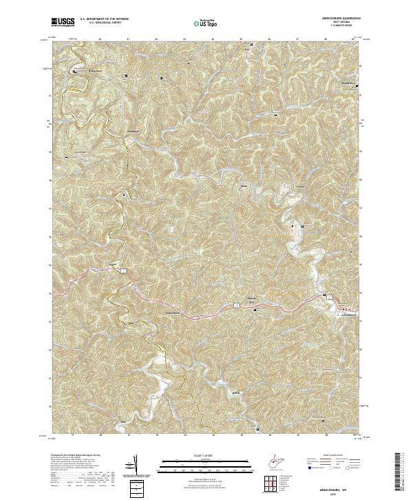
2023 Arnoldsburg
Calhoun County, WV
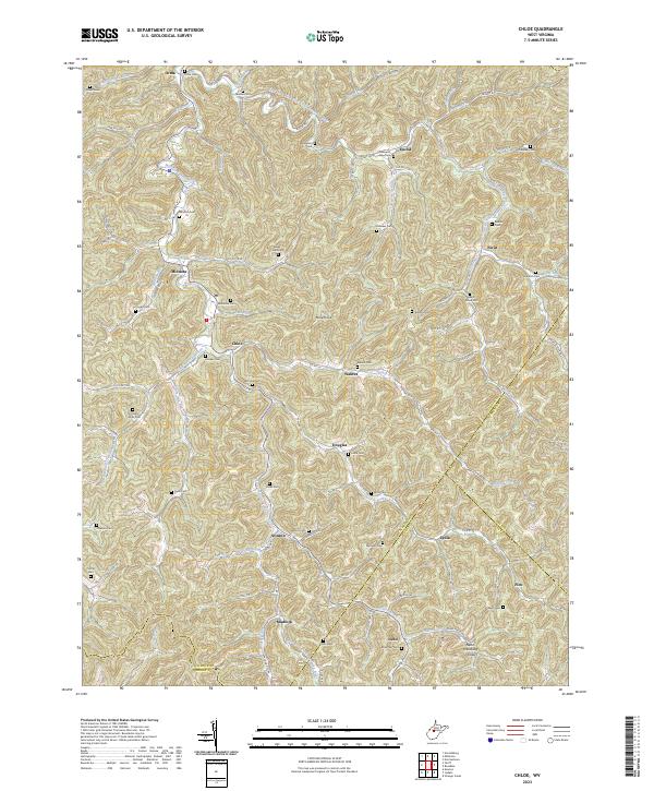
2023 Chloe
Calhoun County, WV
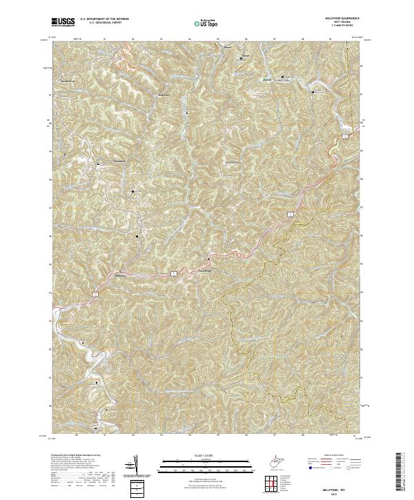
2023 Millstone
Calhoun County, WV