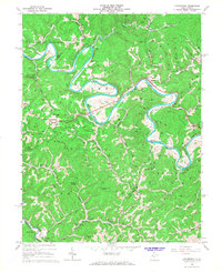
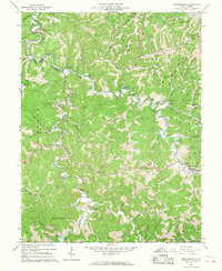
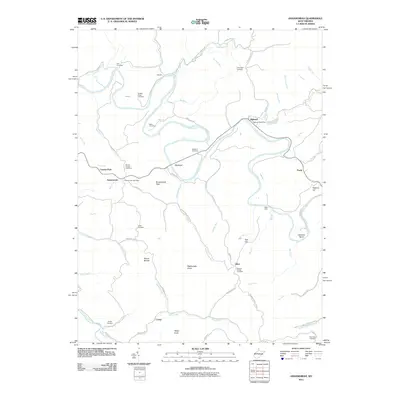
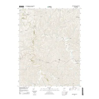
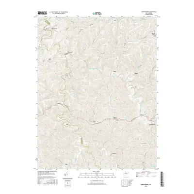
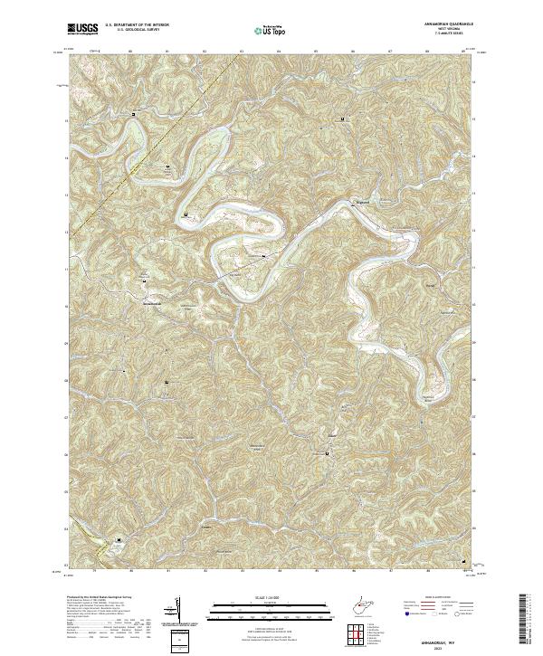
1966 Map of Annamoriah
USGS Topo · Published 1968About this map
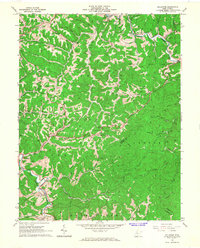
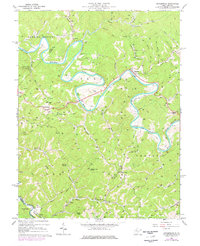
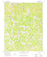
The Little Kanawha River carves deep, dramatic loops through Calhoun County, defining the geography of the Sheridan and Center districts. Small settlements like Annamoriah and Bigbend are situated along these tight river bends, where early rural life centered on community landmarks such as Snyder Chapel and the Brooksville Ch. The landscape is a dense network of steep hollows and ridges, punctuated by high points like Rattlesnake Knob and Palsor Knob.
Find a feature on this map
63 named features on this map. Tap any name to fly to it.
Don’t see what you’re looking for? This feature index may not catch every label — zoom into the map to look around manually.
Map Details
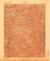
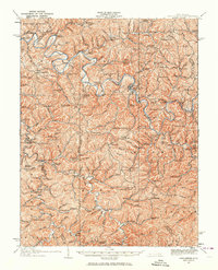
Editions of this 1966 Annamoriah Map
2 editions found
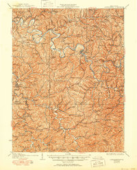
Historical Maps of Joker Through Time
27 maps found
1907 Arnoldsburg
Calhoun County, WV
1925 Arnoldsburg
Calhoun County, WV
1927 Arnoldsburg
Calhoun County, WV
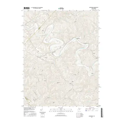
1965 Arnoldsburg
Calhoun County, WV
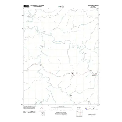
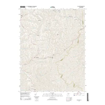
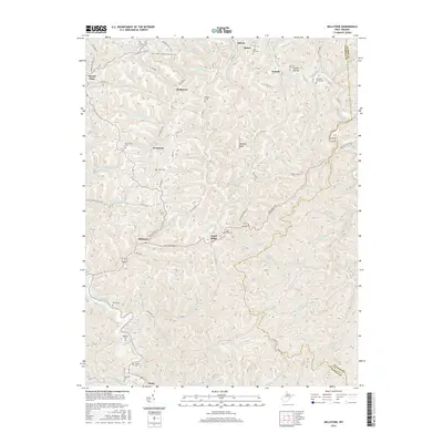
1965 Millstone
Calhoun County, WV
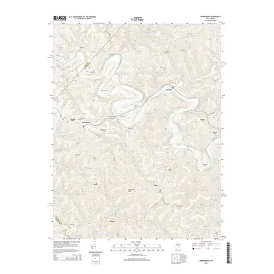
1966 Annamoriah
Calhoun County, WV
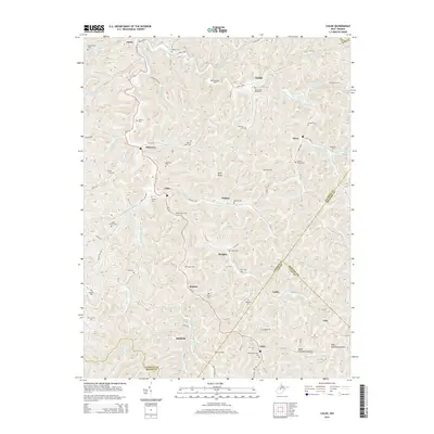
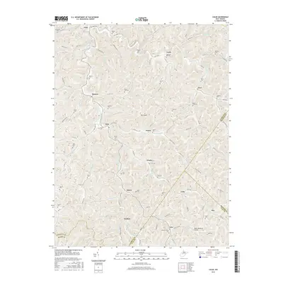
1966 Chloe
Calhoun County, WV
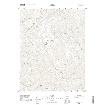
2011 Annamoriah
Calhoun County, WV
2011 Arnoldsburg
Calhoun County, WV

2011 Chloe
Calhoun County, WV
2011 Millstone
Calhoun County, WV
2014 Annamoriah
Calhoun County, WV
2014 Arnoldsburg
Calhoun County, WV
2014 Chloe
Calhoun County, WV
2014 Millstone
Calhoun County, WV
2016 Annamoriah
Calhoun County, WV
2016 Arnoldsburg
Calhoun County, WV
2016 Chloe
Calhoun County, WV
2016 Millstone
Calhoun County, WV
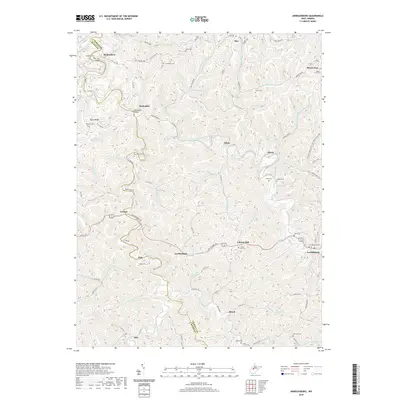
2019 Annamoriah
Calhoun County, WV
2019 Arnoldsburg
Calhoun County, WV
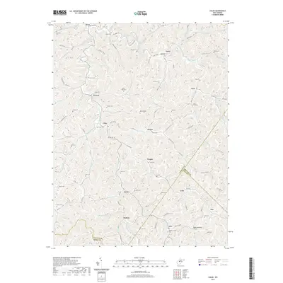
2019 Chloe
Calhoun County, WV
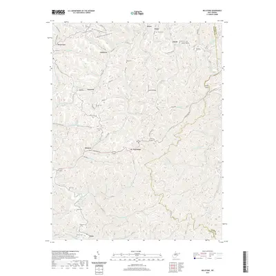
2019 Millstone
Calhoun County, WV
2023 Annamoriah
Calhoun County, WV
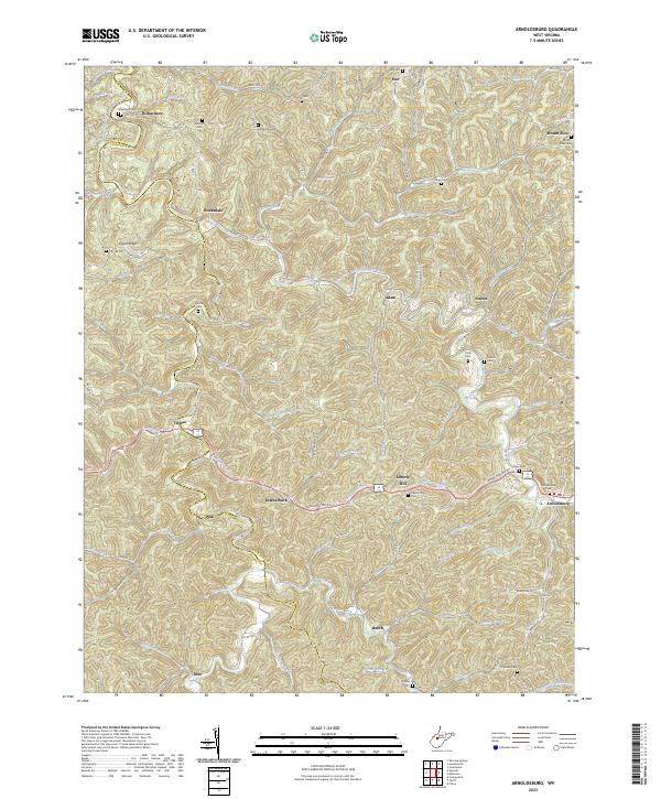
2023 Arnoldsburg
Calhoun County, WV
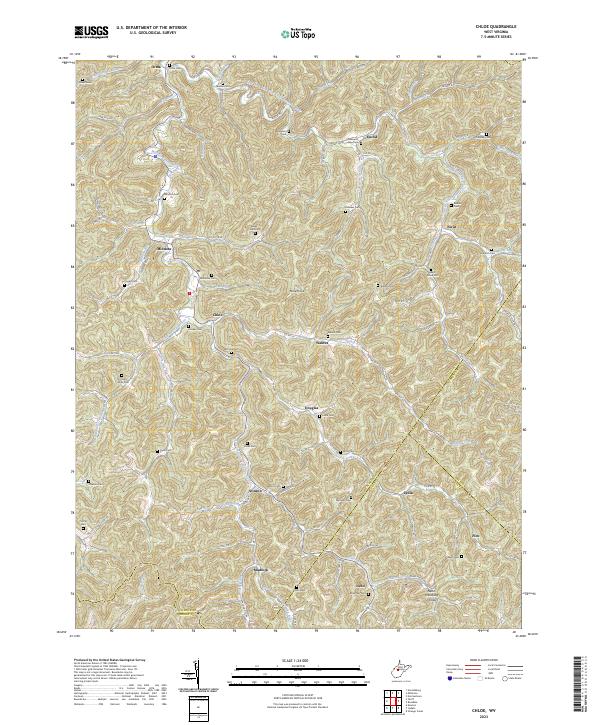
2023 Chloe
Calhoun County, WV
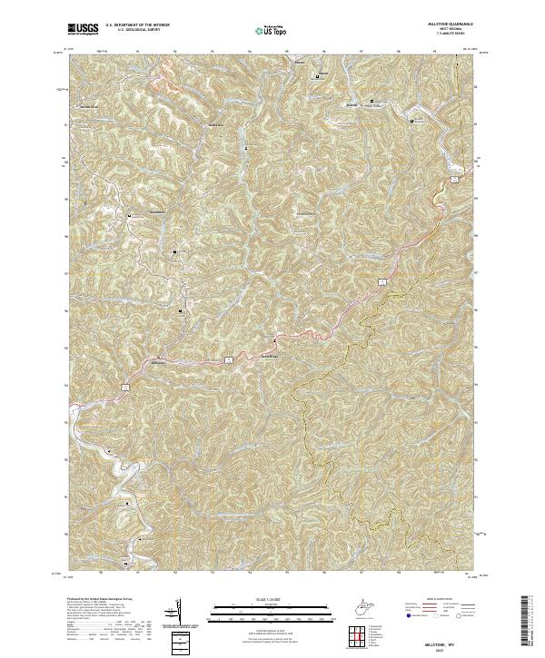
2023 Millstone
Calhoun County, WV