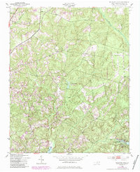
1949 Map of Millstone Lake
USGS Topo · Published 1984About this map
Sandhills Game Lands dominates the landscape of this Richmond County region, reflecting a mid-century period of conservation and resource management. The map reveals a community structured around rural institutions, with multiple country churches such as Sandy Level Ch and McLean Ch serving the area. The northern section is marked by the Norfolk Southern rail line, while the southern reaches feature the specialized McKinney Lake National Fish Hatchery. Significant water features like Millstone Lake and Ledbetter Lake are fed by a complex drainage network including Mountain Creek and Hitchcock Creek. This 1949 survey, with revisions noted through the early 1980s, preserves the locations of local landmarks such as Lincoln Sch and family burial sites like Watson Cem, providing a detailed look at the interface between the natural Carolina sandhills and established rural settlements.
Find a feature on this map
34 named features on this map. Tap any name to fly to it.
Don’t see what you’re looking for? This feature index may not catch every label — zoom into the map to look around manually.
Map Details
Editions of this 1949 Millstone Lake Map
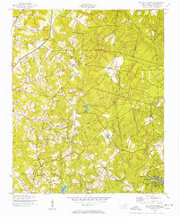
Other maps of this area

1942 · Troy
USGS Topo · 1:125,000

1942 · Rockingham
USGS Topo · 1:125,000

1949 · Millstone Lake
USGS Topo · 1:24,000

1949 · West End
USGS Topo · 1:24,000

1949 · Hoffman
USGS Topo · 1:24,000

1949 · Marston
USGS Topo · 1:24,000

1949 · Hamlet
USGS Topo · 1:24,000

1949 · Hamlet
USGS Topo · 1:62,500

1949 · Jackson Springs
USGS Topo · 1:62,500

1950 · Norman
USGS Topo · 1:24,000