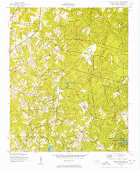
1949 Map of Millstone Lake
USGS Topo · Published 1953About this map
The Mineral Springs and Beaverdam districts of Richmond County are defined by a network of creeks and small, family-named community landmarks at the close of the 1940s. Several country churches, including Sandy Level Ch and McLean Ch, serve as social anchors for rural residents, while the Lincoln Sch stands along the road between Beaver Dam Creek and Hitchcock Creek. In the southern portion of the quadrangle, the McKinney Lake Fish Hatchery and several ponds indicate the importance of managed water resources in this landscape.
Find a feature on this map
35 named features on this map. Tap any name to fly to it.
Don’t see what you’re looking for? This feature index may not catch every label — zoom into the map to look around manually.
Map Details
Editions of this 1949 Millstone Lake Map
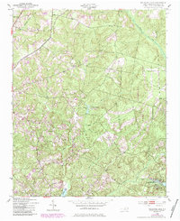
Other maps of this area

1942 · Troy
USGS Topo · 1:125,000

1942 · Rockingham
USGS Topo · 1:125,000

1949 · Millstone Lake
USGS Topo · 1:24,000

1949 · West End
USGS Topo · 1:24,000

1949 · Hoffman
USGS Topo · 1:24,000

1949 · Marston
USGS Topo · 1:24,000

1949 · Hamlet
USGS Topo · 1:24,000

1949 · Hamlet
USGS Topo · 1:62,500

1949 · Jackson Springs
USGS Topo · 1:62,500

1950 · Norman
USGS Topo · 1:24,000