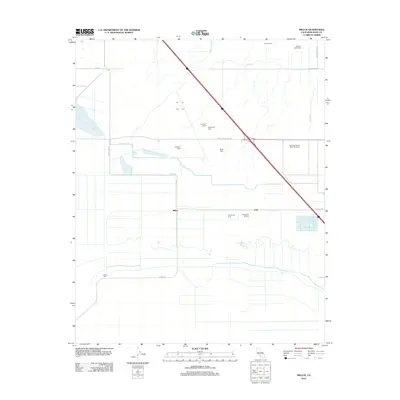
2012 Map of Millux
USGS Topo · Published 2012About this map
Industrial infrastructure and specialized agriculture dominate this 2012 survey of the southern San Joaquin Valley. The Paloma Oil Refinery and the surrounding Paloma Oil Field serve as the central economic hubs of the quadrangle, situated just east of the Millux settlement. The landscape is heavily modified by an intricate network of water management features, including the Buena Vista Canal, Maple Canal, and the Old Rim Ditch, which support the region's concentrated dairy industry. Numerous named operations, such as McMoo Farms Dairy, Emerald Dairy, and Palla Rosa Farms Dairy Number 3, are distributed across the grid-iron road system. Near the center of the map, the meandering path of the Connecting Slough provides a sharp contrast to the straight-line precision of the industrial and agricultural canals that define this part of Kern County.
Find a feature on this map
27 named features on this map. Tap any name to fly to it.
Don’t see what you’re looking for? This feature index may not catch every label — zoom into the map to look around manually.
Map Details
Editions of this 2012 Millux Map
This is the sole edition of this map. No revisions or reprints were ever made.
Other maps of this area

1910 · Buena Vista Lake
USGS Topo · 1:125,000

1912 · Buena Vista Lake
USGS Topo · 1:125,000

1929 · Stevens
USGS Topo · 1:31,680

1929 · Coles Levee
USGS Topo · 1:31,680

1929 · Mouth of Kern
USGS Topo · 1:31,680

1930 · Millux
USGS Topo · 1:31,680

1930 · Conner
USGS Topo · 1:31,680

1931 · Pentland Junction
USGS Topo · 1:31,680

1931 · Hayes Ranch
USGS Topo · 1:31,680

1932 · Mouth of Kern
USGS Topo · 1:31,680