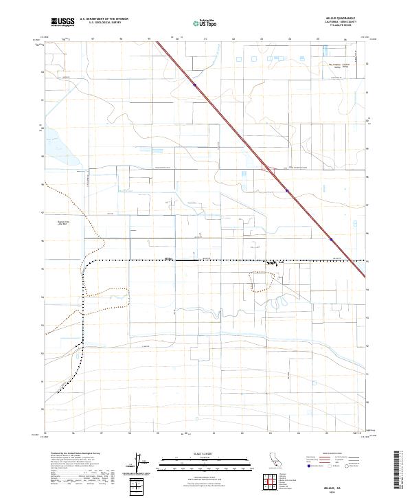
2021 Map of Millux
USGS Topo · Published 2021About this map
The San Joaquin Valley landscape within the Central Valley is defined by a rigorous grid of agricultural roads and irrigation infrastructure. Water management is the primary narrative here, as evidenced by the presence of the Buena Vista Canal, Maple Canal, and Stine Canal, which service the productive fields around the Millux settlement. The hydrology of the area is further complicated by the expansive Buena Vista Lake Bed and Lake Webb at the western edge of the sheet.
Find a feature on this map
25 named features on this map. Tap any name to fly to it.
Don’t see what you’re looking for? This feature index may not catch every label — zoom into the map to look around manually.
Map Details
Editions of this 2021 Millux Map
This is the sole edition of this map. No revisions or reprints were ever made.
Other maps of this area

1910 · Buena Vista Lake
USGS Topo · 1:125,000

1912 · Buena Vista Lake
USGS Topo · 1:125,000

1929 · Stevens
USGS Topo · 1:31,680

1929 · Coles Levee
USGS Topo · 1:31,680

1929 · Mouth of Kern
USGS Topo · 1:31,680

1930 · Millux
USGS Topo · 1:31,680

1930 · Conner
USGS Topo · 1:31,680

1931 · Pentland Junction
USGS Topo · 1:31,680

1931 · Hayes Ranch
USGS Topo · 1:31,680

1932 · Mouth of Kern
USGS Topo · 1:31,680