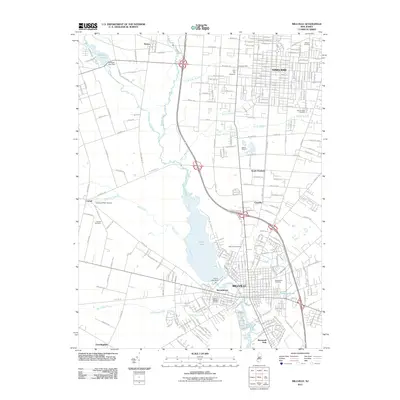
2011 Map of Millville
USGS Topo · Published 2011About this map
The Maurice River corridor anchors this portrait of southern New Jersey, showing the industrial and residential development connecting Vineland and Millville. The central landscape is dominated by the expansive Union Lake, formed by the Union Lake Dam, which historically provided power for local industry. The map captures a well-established grid of streets and residential clusters like South Vineland, Clayville, and Necombtown, illustrating the transition from dense urban centers to the outlying agricultural areas of Norma and Carmel.
Find a feature on this map
49 named features on this map. Tap any name to fly to it.
Don’t see what you’re looking for? This feature index may not catch every label — zoom into the map to look around manually.
Map Details
Editions of this 2011 Millville Map
This is the sole edition of this map. No revisions or reprints were ever made.
Other maps of this area

1890 · Hammonton
USGS Topo · 1:62,500

1890 · Tuckahoe
USGS Topo · 1:62,500

1890 · Bridgeton
USGS Topo · 1:62,500

1890 · Glassboro
USGS Topo · 1:62,500

1893 · Tuckahoe
USGS Topo · 1:62,500

1894 · Hammonton
USGS Topo · 1:62,500

1894 · Bridgeton
USGS Topo · 1:62,500

1898 · Glassboro
USGS Topo · 1:62,500

1898 · Hammonton
USGS Topo · 1:62,500

1899 · Vineland
USGS Topo · 1:125,000