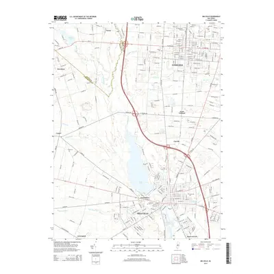
2014 Map of Millville
USGS Topo · Published 2014About this map
Union Lake and the Maurice River form the central hydrological axis of this southern New Jersey landscape, separating the urban centers of Vineland and Millville. The map documents a dense grid of residential and commercial development, particularly along Landis Ave and W Main St, which serve as primary east-west corridors. Small outlying settlements like Norma, Rosenhayn, and Carmel preserve a distinct rural-residential character on the western periphery, often defined by their proximity to water features such as Rainbow Lake and Muddy Run.
Find a feature on this map
59 named features on this map. Tap any name to fly to it.
Don’t see what you’re looking for? This feature index may not catch every label — zoom into the map to look around manually.
Map Details
Editions of this 2014 Millville Map
This is the sole edition of this map. No revisions or reprints were ever made.
Other maps of this area

1890 · Hammonton
USGS Topo · 1:62,500

1890 · Tuckahoe
USGS Topo · 1:62,500

1890 · Bridgeton
USGS Topo · 1:62,500

1890 · Glassboro
USGS Topo · 1:62,500

1893 · Tuckahoe
USGS Topo · 1:62,500

1894 · Hammonton
USGS Topo · 1:62,500

1894 · Bridgeton
USGS Topo · 1:62,500

1898 · Glassboro
USGS Topo · 1:62,500

1898 · Hammonton
USGS Topo · 1:62,500

1899 · Vineland
USGS Topo · 1:125,000